 Carmen Nesbitt
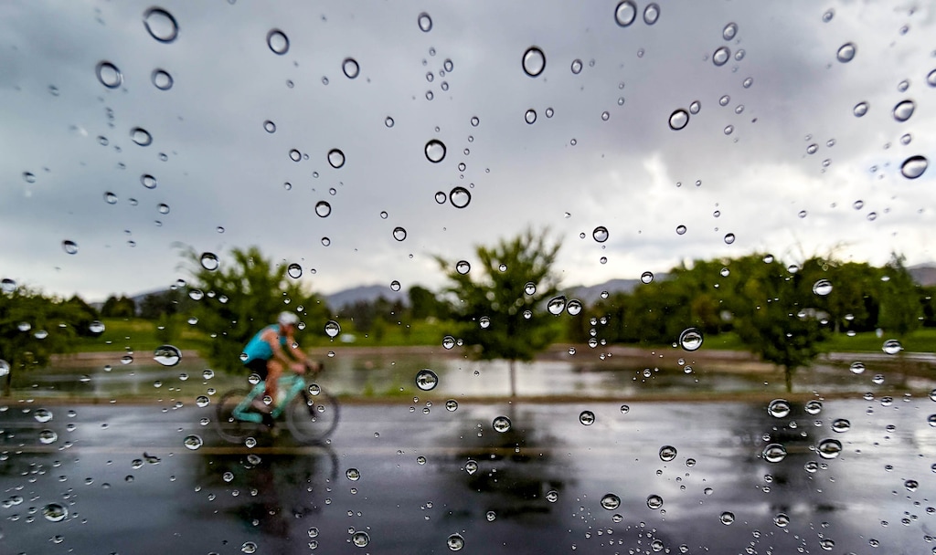
Labor Day weekend is shaping up to be a stormy one, and forecasters are warning Utahns to avoid certain outdoor activities — particularly on Sunday.
While Saturday brought sunshine, warm gusts and temperatures in the mid-80s, that was expected to change Sunday morning, said National Weather Service lead meteorologist Christine Kruse of the Salt Lake City office.
Tropical moisture from Hurricane Marie will blow into southwestern Utah around 6 a.m. Sunday, causing thunderstorms and rain that will spread throughout the state, Kruse said.
“Those showers and thunderstorms will have a threat of very heavy rain, strong gusty winds and maybe some small hail,” Kruse said.
That’s why, she added, it’s best to avoid slot canyons, dry washes, slickrock and other areas prone to flash floods.
“Those are places that it might be good to have an alternate plan for on Sunday,” Kruse said.
Areas west of Interstate 15 for much of the state and north of Interstate 70 in eastern Utah stand to be the most impacted by the storms Sunday, she said.
“It’ll be a less than ideal day for a lot of outdoor activities,” Kruse said.
Labor Day itself, though, might be a bit more promising.
Scattered storms and rain will persist through Monday morning but are expected to taper off by 2 p.m., Kruse said. It’s also expected to cool off with temperatures around the mid-70s along the Wasatch Front.
Hurricane Marie, a Category 2 hurricane, is expected to stay hundreds of miles off the West Coast.