facebook-pixel

Utah can expect rain — and possible flooding — on Friday

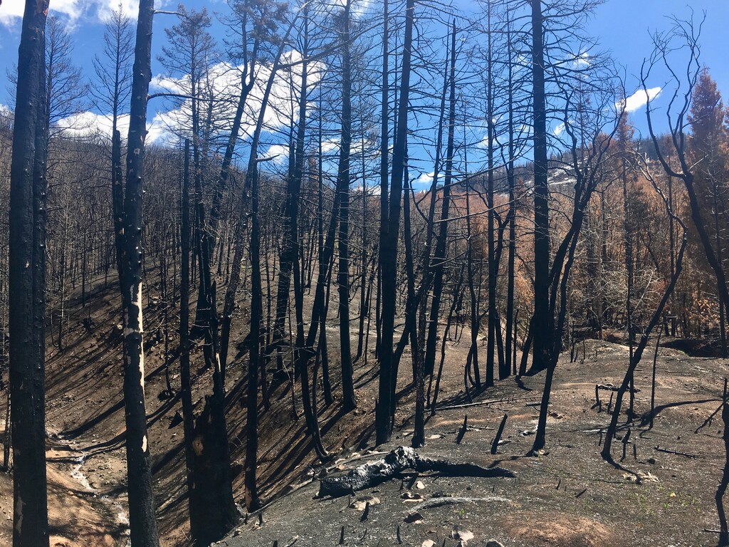
Brian Maffly | The Salt Lake Tribune Payson Canyon, pictured here on April 25, 2019, burned in Utah County's megafires last summer. These scared areas are vulnerable to flash flooding.

Scattered rain showers and thunderstorms on Friday will give Utah residents a slight break from the summer heat, but heavy rainfall could potentially cause flash flooding in some parts of the state.

“A flash flood watch is in effect for portions of central Utah beginning at 2 p.m. and continuing through 10 p.m. this evening,” according to the National Weather Service. Areas where fires have scarred the landscape are the most vulnerable for flooding.

“Some of this heavy rain could strike the burn scars in the watch area," officials said. "Flash flooding along with debris flows could occur if sufficient rainfall strikes any of the burn scars.”

The flash flood watch will affect the Wasatch Mountains south of Interstate-80 in northern Utah and the Wasatch Plateau and Book Cliffs areas of central Utah.

High temperatures on Friday will be 92; Saturday will be mostly sunny, with a high near 88.

Support free news for Utah

sltrib.com is now free to access — no subscription required. We made this decision because we believe access to trustworthy, independent news shouldn’t depend on what you can afford — especially as misinformation and AI-generated content continue to rise.

Free to read doesn’t mean free to produce. Our reporters show up every day to ask hard questions and hold powerful institutions to account. That work takes resources. As a nonprofit newsroom, we rely on support from people who believe it matters. Make a donation today to fund local news that serves Utah communities.

You can help us bring more local news to more communities today.