 Sofia Jeremias
At the beginning of January, Utah’s snowpack levels were bleak. It wasn’t just bad news for skiers — roughly 95% of Utah’s water supply comes from snowpack.
“It was not looking good,” Candice Hasenyager, director of the State Division of Water Resources, told lawmakers on Tuesday afternoon.
But after a dry January, storms picked up through the rest of the winter and early spring.
“We were grateful for all the storms that came in toward the end of January, February and March and really made the difference,” Hasenyager said. “Overall we’re looking really good across the state.”
(Utah Division of Water Resources) In a presentation to lawmakers on Tuesday the Utah Division of Water Resources shared that many of the state's reservoirs were more than 90% full.
May storms brought Utah’s snowpack up to 151% of the median for this time of year. Drought conditions also improved across the state.
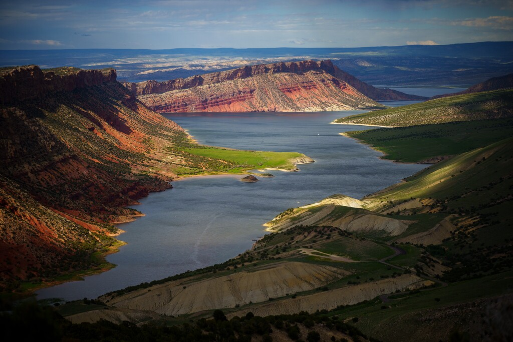
Reservoir levels are 22% higher than the median this time of year, except at the state’s largest reservoirs. Lake Powell is only at 33% of capacity, Flaming Gorge is at 85% and Yuba is at 50%. Most reservoirs in the state are at 90% or above of their capacity.
The Great Salt Lake is up, but still needs more water to reach a healthy level.
Lake levels rose in both the north and south arms. Overall, lake levels remain low and still aren’t high enough to avoid the “adverse effects” that harm overall ecosystem health and keystone stone species like brine shrimp.
(Utah Division of Water Resources) Snowpack was slightly above average this year according to a presentation from the Utah Division of Water Resources on Tuesday afternoon.
The south arm of the lake, which is significantly higher than the north arm because of the railway causeway, is at 4,195 feet. “I’m really excited to see us hit that level,” said Great Salt Lake Commissioner Brian Steed. Although the lake may not stay there for long — once temperatures warm up the lake typically loses several feet from evaporation, Steed said.
“We still have a lot of exposed playa and that’s something we’re watching very closely,” Steed said.