There’s widespread rain over much of Utah, and air quality has improved — but it’s not exactly crystal clear.
Salt Lake County is in the yellow/moderate zone on Wednesday morning, and the Utah Department of Environmental Quality forecasts it will stay there through Friday. Utah and Tooele counties are in the orange/unhealthy for sensitive people zone on Wednesday morning, which is expected to improve to yellow later and stay that way through Friday — along with Cache, Davis and Box Elder counties.
What gives?
Despite the rain here, smoke is still blowing into Utah from fires on the West Coast, according to the National Weather Service. Patchy smoke remains in the forecast for the next few days.
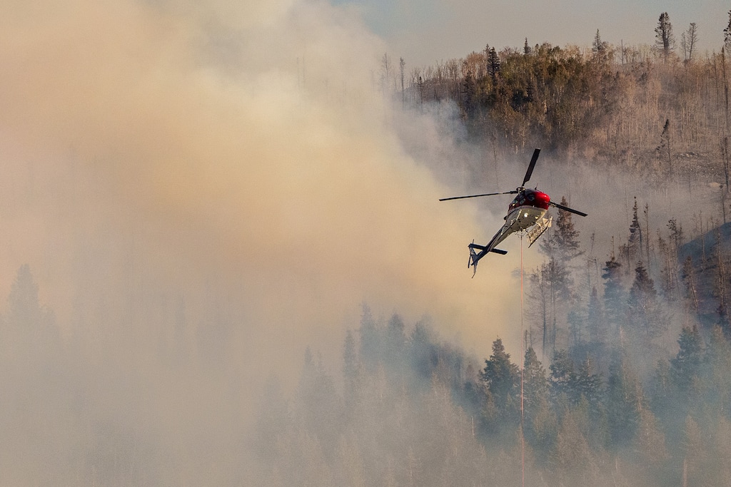
So does rain. The good news is that half an inch of rain fell on the Parleys Canyon Fire on Tuesday night, and the winds didn’t spread the flames. The blaze is still at 541 acres and 40% contained, and evacuation orders were lifted on Tuesday evening. And “as a result of the great work and rain, most firefighters will be released today,” according to Utah Fire Info.
There was bad news in Delta — schools there are mopping up after some flooding on Tuesday night. The Millard School District canceled classes for all Delta schools on Wednesday, pushing the first day of school back to Thursday.
And the possibility of severe thunderstorms with damaging wind and hail and flooding remains. Flash flood watches and warnings have been issued for much of Utah, from the mountains east of Salt Lake City south to Zion National Park and west to St. George because of thunderstorms capable of producing “torrential” rainfall. Flash floods are expected at all of Utah’s national parks on Wednesday, and possible at all of them on Thursday, according to the National Weather Service.
(National Weather Service) Severe weather remains a possibility across much of Utah.
In the Salt Lake City area, there’s a 70-80% change of more rain on Wednesday, and a 70% chance on Thursday. After clearing on Friday, there’s a 30% chance of rain on Saturday and a slight chance on Sunday.
And temperatures will be unseasonably cool — in the upper 60s and low 70s on through Friday; in the mid-70s on Saturday and Sunday. And at elevations of 10,000 feet and above, the rain may turn to snow on Wednesday night.
There’s a 40-60% chance of rain in the St. George area on Wednesday, and a 20-40% chance on Thursday. High temperatures will be in the low to mid-90s through Sunday.