


This is an archived article that was published on sltrib.com in 2014, and information in the article may be outdated. It is provided only for personal research purposes and may not be reprinted.
The Utah Avalanche Center warns that there is an extreme risk of avalanches in much of the state.
The center recorded 14 slides across the state on Saturday, one of which trapped a BYU student snowshoeing in American Fork Canyon and hospitalized her in critical condition. The center's forecasters expect the risk for slides on Sunday will be extreme in the Salt Lake, Ogden, Logan and Provo-area mountains, high in the Uintas and Skyline-area mountains, and considerable in the mountains around Moab.
The risk remains extreme in at least the Logan-area mountains into Monday, and high everywhere else, according to the center.
The intense risk forced the Utah Department of Transportation to shut down American Fork Canyon Saturday night. The department intends to keep the canyon closed through at least part of Sunday, as it continues to do avalanche control, said spokesman Adan Carrillo.
UDOT also closed Little Cottonwood Canyon for avalanche control until 9:30 a.m. Sunday. Logan Canyon and Powder Mountain Highway also remained closed Sunday.
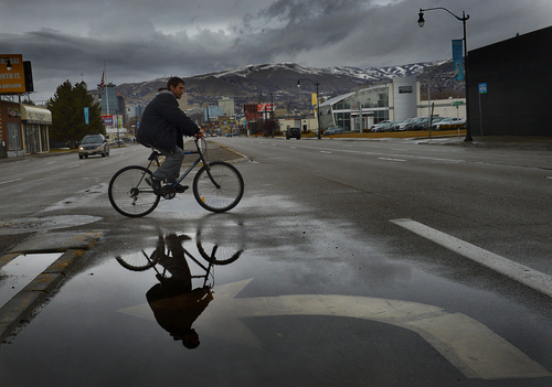
The National Weather Service in Salt Lake City expects valley rain and mountain snow across northern, central and western Utah on Sunday. The precipitation will linger into Monday in northern and central Utah, while another storm arrives Wednesday, according to the weather service.
The Utah Division of Air Quality forecasts healthy air statewide for Sunday and Monday.
For more weather information, visit The Salt Lake Tribune's weather page.
Twitter: @mikeypanda