


This is an archived article that was published on sltrib.com in 2017, and information in the article may be outdated. It is provided only for personal research purposes and may not be reprinted.
Mountain snow, valley rain, it's winter in Utah then spring again. Toss in stiff winds, as thunder claps — not as applause, but in a cold, wet slap.
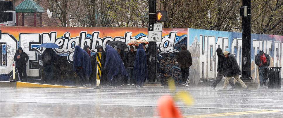
Steady rainfall greeted commuters along the Wasatch Front Monday morning, and that soggy forecast was to persist through Tuesday. While the denizens of the northern Utah valleys leaned into drenching winds gusting to 45 mph, snow dusted the mountains above them.
Indeed, the National Weather Service issued a Winter Weather Advisory through 10 a.m. Tuesday for the Wasatch peaks and plateaus, along with the Uintas, Book Cliffs and central mountains. Wind-riven snow, 9-18 inches deep, was predicted.
High temperatures on Tuesday were to range into the low-50s in the Salt Lake and Tooele valleys, up a few degrees from Monday's forecast. Wednesday, however, was to dawn sunny with highs approaching 60 degrees.
Southern Utahns will get a milder version of the spring storm with winds of 10-20 mph ushering in a cycle of showers and thunderstorms and highs in the low- to mid-60s Monday. Tuesday follows with sunny skies and, while once more breezy, highs in the upper-60s.
Once more, the Utah Division of Air Quality and Intermountain Allergy & Asthma website comprised a meteorological sort of Janus, a two-faced god that both blessed the state with unanimous "green," or healthy air quality grades — and warned that oak, willow, ash, cottonwood and sycamore were "very high" on the pollen index as of Monday.
For more extensive forecast information visit the Tribune's weather page at http://www.sltrib.com/news/weather/.
Twitter: @remims