


This is an archived article that was published on sltrib.com in 2014, and information in the article may be outdated. It is provided only for personal research purposes and may not be reprinted.
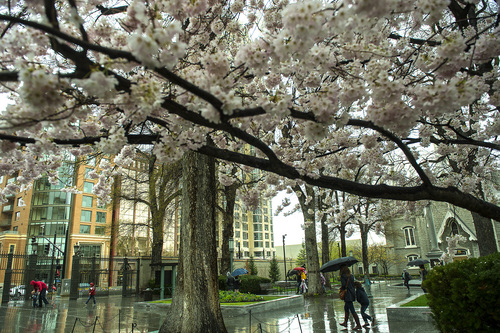
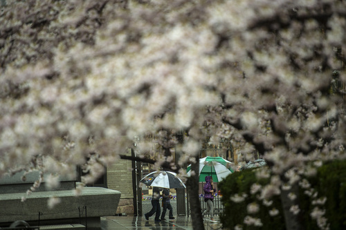
Thunderstorms. Rain. Snow. Wind. Welcome to springtime in Utah.
The National Weather Service has a Hazardous Weather Outlook in place through the coming weekend for the western two-thirds of the state, warning that a blustery cold front settling over the region will bring snow to the mountains and benches and rain to the valleys of northern and central Utah.
Indeed, snow fell heavily in mountain passes throughout northern Utah on Tuesday morning, with near-whiteout conditions prevailing at one point in Logan Canyon. Both Big and Little Cottonwood canyons restricted travel to four-wheel drive or tire-chained vehicles
Westerly winds of 15-25 mph will add to the climatological drama along the Wasatch Front, where temperatures Wednesday were expected to only reach the mid- to upper 40s — the same forecast as that for Tuesday.
Southern Utahns won't escape the unsettled weather patterns, either. In southeastern Utah, a wind advisory was in place from noon to 9 p.m. Tuesday with gusts up to 45 mph.
Southwestern Utah looked for lesser winds, in the 15-25 mph range, highs in the low-60s and thunderstorms and rain periodically through Wednesday.
The Utah Division of Air Quality awarded "green," or healthy breathing assessments for the entire state into the midweek.
The Intermountain Allergy & Asthma website rated both cottonwood and cedar pollen levels as high as the week reached its midpoint.
For more extensive forecast information, visit the Tribune's weather page at http://www.sltrib.com/weather.
Twitter: @remims Periods of Road Slush/Snow through Tuesday Evening •
Tuesday morning: Periods of road slush/snow will impact north-central areas of Utah, mainly before noon. Main impacts will be to the summits of US-40 (Mayflower and Daniel's), US-6 (Soldier), US-191 (Indian Canyon), and I-80 (Parley's). Other areas with impacts include: Cottonwood Canyons, Park City area, Provo Canyon, and the western and northern Uinta Basin (near Duchesne and Vernal).
Tuesday afternoon-evening: Many of the heavier-traveled mountain highway routes trend wet, though periods of slush remain possible under heavier snow showers in the afternoon. Periods of road slush and snow will impact the summit routes in south-central Utah south of I-70.
Crosswinds of 45+ mph between 10 A.M. and 6 A.M. Tuesday will impact routes in southeast Utah, including I-70 near Green River and US-191 from I-70 to Arizona.
— Source: Utah Department of Transportation