


This is an archived article that was published on sltrib.com in 2017, and information in the article may be outdated. It is provided only for personal research purposes and may not be reprinted.
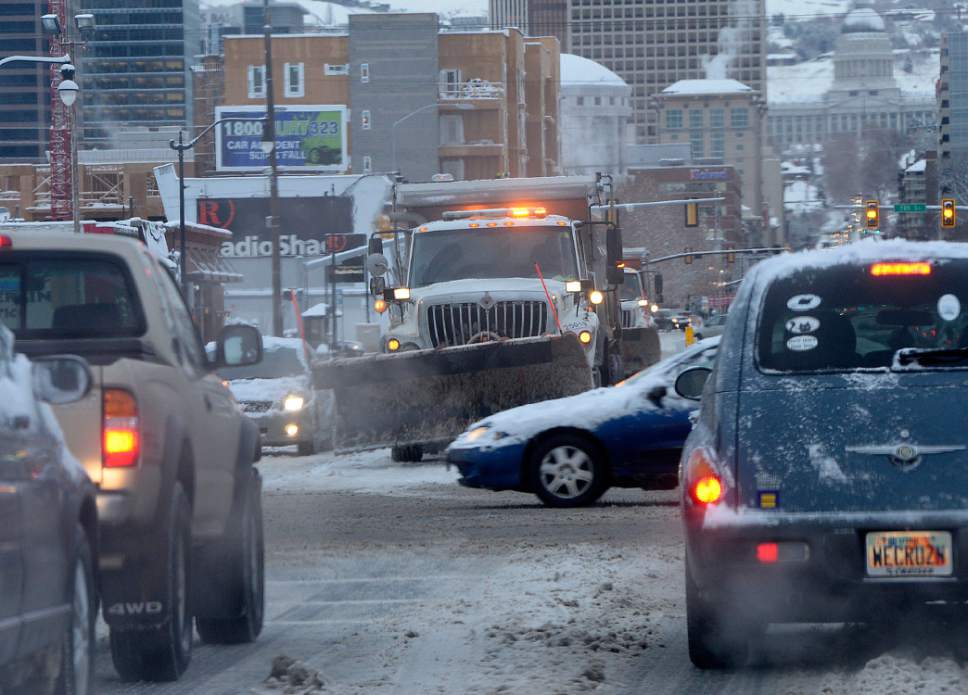
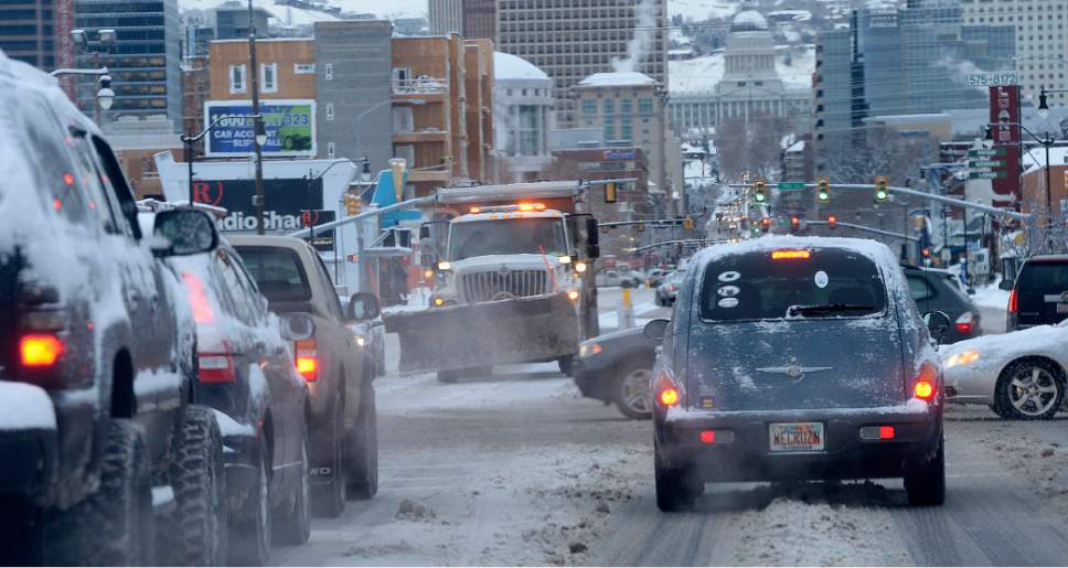
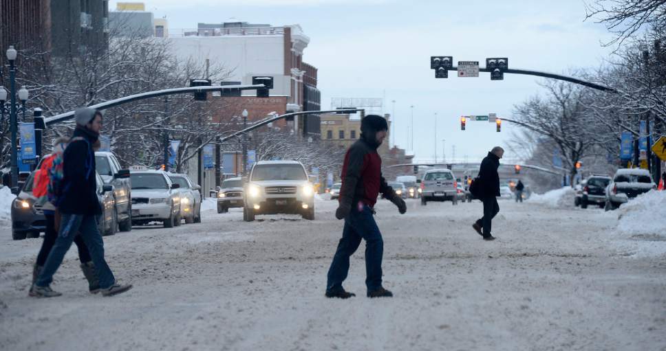
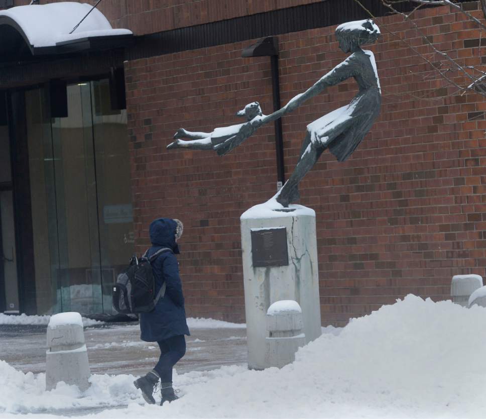
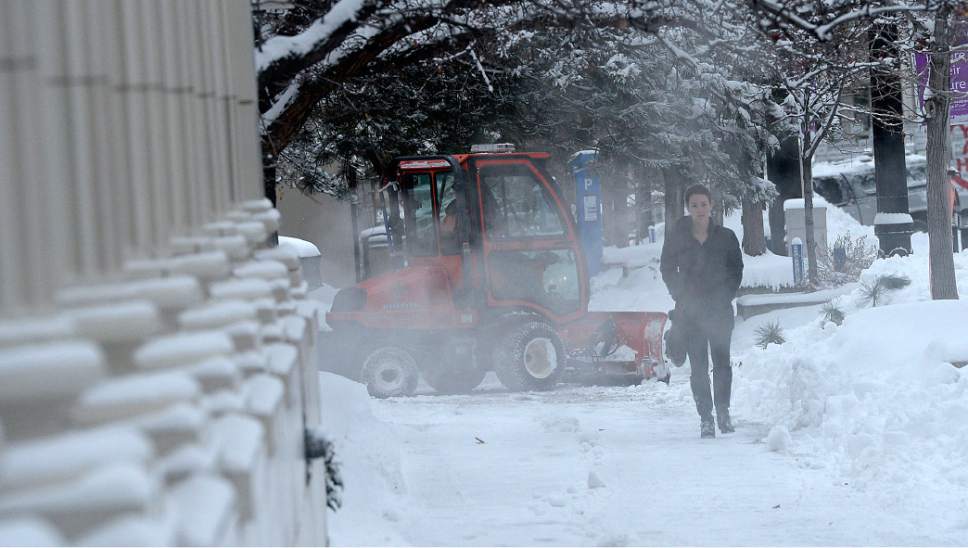
Commuters braving slippery, snowpacked roads along northern Utah's Wasatch Front on Thursday found that usual interstate sprint to work morphing into a maddeningly slow, icy marathon.
By noon, the Utah Highway Patrol — with nary a breather after responding to more than 100 crashes late Wednesday — appeared close to matching that number of collisions or slideoffs on the region's freeways and highways. No serious injuries were reported, UHP Sgt. Todd Royce said.
"Early on, we had to call out extra troopers in Weber, Box Elder, Davis and Salt Lake counties as the storm moved toward the south," Royce said.
As of mid-morning in Salt Lake City, some streets still had not been plowed.
City spokesman Matthew Rojas said that 100 percent of the city's snow removal crew has been out all night and all day removing snow.
Salt Lake City identifies priorities, Rojas said, that it has identified in a map on its website. Residents who doubt whether the plows are out can also track them via GPS.
Rojas also noted that many of the city's streets are the responsibility of the state, which prioritizes freeways and freeway access.
"We ask for people's patience," he said.
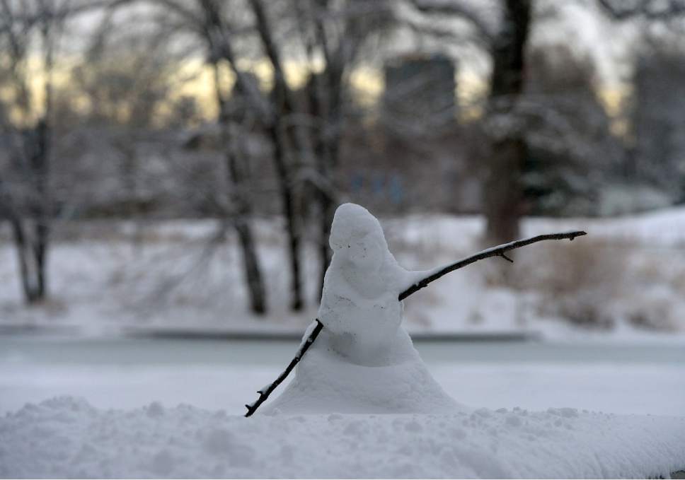
By late Thursday morning, the storm was lessening in Utah County, moving on a southerly path through central and then southwest Utah later by late-afternoon and evening. By early afternoon, the sun broke through the clouds to glare off a brilliant blanket of white.
After taking a look outside earlier in the day, officials in Box Elder County, Bear Lake County, Cache County and Logan districts canceled their classes entirely Thursday, as did Bridgerland Applied Technology College in Logan and Brigham City.
School started two hours late in the Provo, Dugway and Davis districts, and one hour late in the Ogden School District; Davis also canceled kindergarten classes for the day.
At Salt Lake City International Airport, where dozens of flights were diverted or delayed for hours overnight, most flights were on time, though about a dozen still were listed "delayed" by Thursday afternoon.
The airport's grounds crews stayed ahead of 5 inches of new snow, keeping runways plowed.
Utah's ski resorts, of course, were scenes of deep powder ecstacy: Snowbasin reported a 24-hour total for fresh snow of 22 inches by late Thursday morning, followed by Brighton (19), Powder Mountain and Beaver Mountain (17 each), Deer Valley (16), Solitude (15), Snowbird (13), Nordic Valley (10), Snowbasin (8), Alta and Park City (7), and Brian Head (2 inches).
More wintry tribulations were to come, starting with overnight lows in the single-digit to low teens Friday. Highs will mostly be in the 20s.
That also is when a Winter Storm Warning is expected to expire for Utah's central and southern mountains, as well as the west-central and southwestern deserts. From Park City and the western Uintas and south through Provo, Nephi, Cedar City and just north of Price, 2-5 inches of new snow was predicted for the affected areas' valleys and 6-12 inches were forecast for the mountains.
A Winter Weather Advisory was in place for southeastern Utah's Monticello area. That watch was in effect through 5 a.m. Friday as well, and expected to bring snow of 2-5 inches.
An Avalanche Warning was ordered for the backcountry of the northern Wasatch, Bear River Range and western Uintas. Kicking in at 6 a.m. Thursday, the warning was to expire 6 a.m. Friday.
The Utah Avalanche Center rated the Logan and Uintas districts at "high" risk for potentially deadly snowslides, while the Ogden, Salt Lake and Provo mountains were rated at "considerable" danger. The Skyline, Moab and Abajo districts were rated at "moderate" risk for avalanches.
That's a lot of miserable wintry news, but at least you can fill your lungs with crisp, if cold air: the Utah Division of Air Quality gave "green," or healthy grades statewide through the end of this week.
Fore more extensive forecast information, visit the Tribune's weather page (http://www.sltrib.com/weather/).
Twitter: @remims