Rick Egan | The Salt Lake Tribune
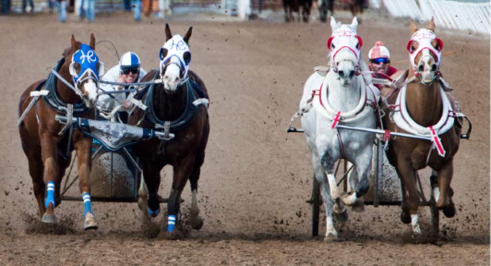
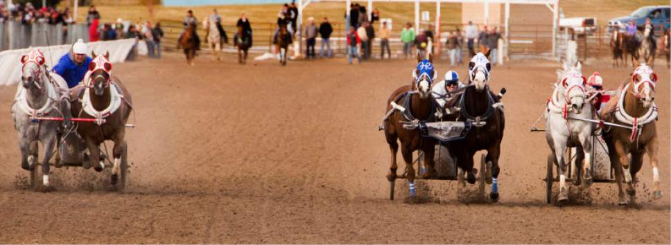
Hadley Racing and OK Boys #1 run neck and neck at the finishline as they compete in the 2nd U
Rick Egan | The Salt Lake Tribune
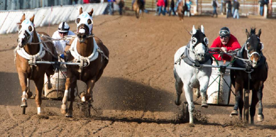
Johnson Family #1 and CA & Bennett/Taqueria El Rodeo compete in the 2nd Utah Division in
Rick Egan | The Salt Lake Tribune
OK Boys #2 competes in the 3rd Utah Division in the 2017 Utah & Idaho State Cutter and Ch
Rick Egan | The Salt Lake Tribune
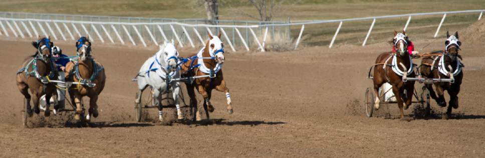
Young Ganz Racing, Wanner Rock, and S/S Racing compete in the 3rd Idaho Division in the 2017
Rick Egan | The Salt Lake Tribune
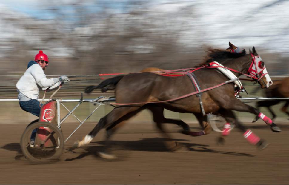
Steer Crazy competes in the 3rd Utah Division in the 2017 Utah & Idaho State Cutter and C
Rick Egan | The Salt Lake Tribune
OK Boys #2 competes in the 3rd Utah Division in the 2017 Utah & Idaho State Cutter and Ch
Rick Egan | The Salt Lake Tribune
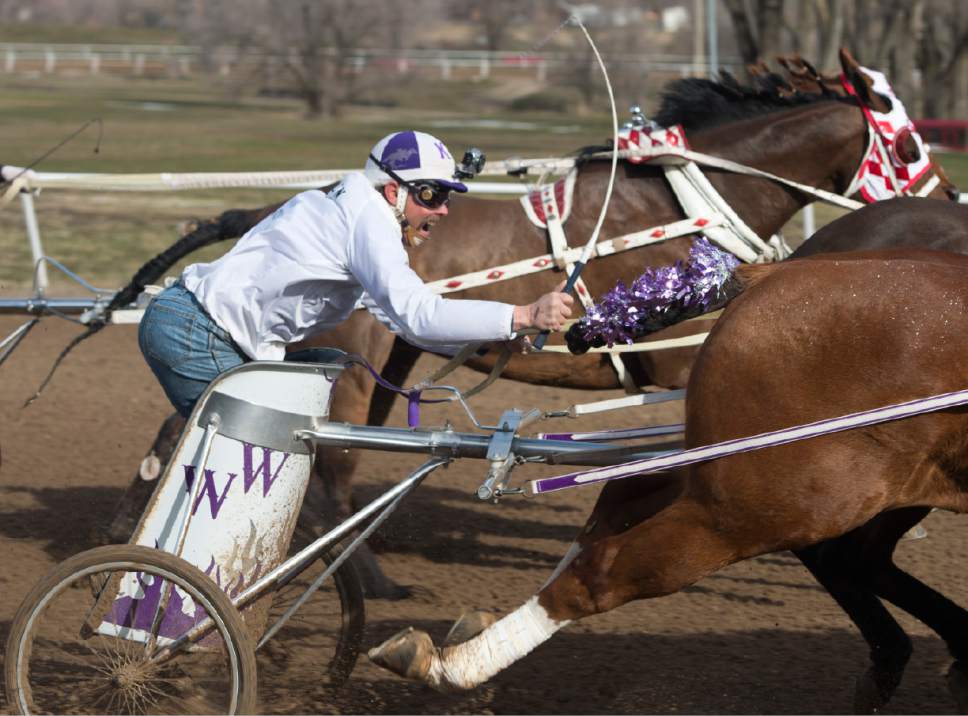
M&M's competes in the 2nd Utah Division in the 2017 Utah & Idaho State Cutter and Cha
Rick Egan | The Salt Lake Tribune
Logan & Steve, Hadley Racing and OK Boys #1 run neck and neck at the finishline as they c
Rick Egan | The Salt Lake Tribune
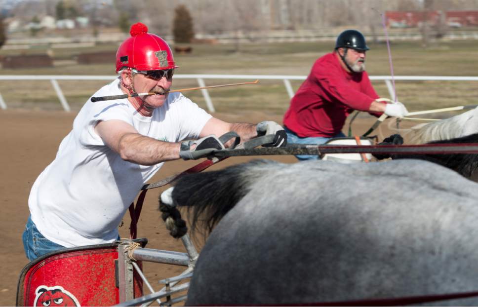
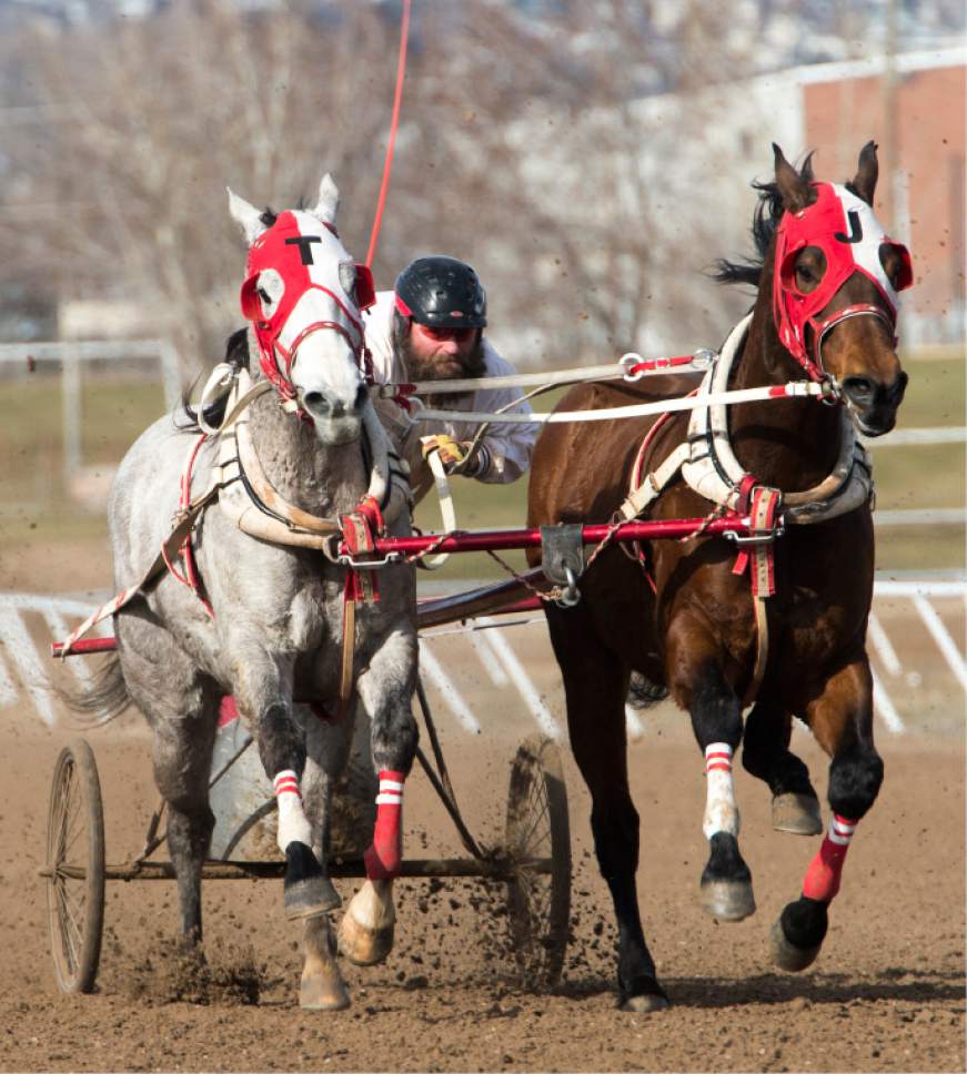
TJ Construction/Tom Johnson competes in the 2nd Idaho Division in the 2017 Utah & Idaho S
Rick Egan | The Salt Lake Tribune
Hadley Racing and OK Boys #1 run neck and neck at the finishline as they compete in the 2nd Utah Division in the 2017 Utah & Idaho State Cutter and Chariot Racing Championships, at Golden Spike Events Center in Ogden, Sunday, February 26, 2017.
Rick Egan | The Salt Lake Tribune
Johnson Family #1 and CA & Bennett/Taqueria El Rodeo compete in the 2nd Utah Division in the 2017 Utah & Idaho State Cutter and Chariot Racing Championships, at Golden Spike Events Center in Ogden, Sunday, February 26, 2017.
Rick Egan | The Salt Lake Tribune
OK Boys #2 competes in the 3rd Utah Division in the 2017 Utah & Idaho State Cutter and Chariot Racing Championships, at Golden Spike Events Center in Ogden, Sunday, February 26, 2017.
Rick Egan | The Salt Lake Tribune
Young Ganz Racing, Wanner Rock, and S/S Racing compete in the 3rd Idaho Division in the 2017 Utah & Idaho State Cutter and Chariot Racing Championships, at Golden Spike Events Center in Ogden, Sunday, February 26, 2017.
Rick Egan | The Salt Lake Tribune
Steer Crazy competes in the 3rd Utah Division in the 2017 Utah & Idaho State Cutter and Chariot Racing Championships, at Golden Spike Events Center in Ogden, Sunday, February 26, 2017.
Rick Egan | The Salt Lake Tribune
OK Boys #2 competes in the 3rd Utah Division in the 2017 Utah & Idaho State Cutter and Chariot Racing Championships, at Golden Spike Events Center in Ogden, Sunday, February 26, 2017.
Rick Egan | The Salt Lake Tribune
M&M's competes in the 2nd Utah Division in the 2017 Utah & Idaho State Cutter and Chariot Racing Championships, at Golden Spike Events Center in Ogden, Sunday, February 26, 2017.
Rick Egan | The Salt Lake Tribune
Logan & Steve, Hadley Racing and OK Boys #1 run neck and neck at the finishline as they compete in the 2nd Utah Division in the 2017 Utah & Idaho State Cutter and Chariot Racing Championships, at Golden Spike Events Center in Ogden, Sunday, February 26, 2017.
Rick Egan | The Salt Lake Tribune
TJ Construction/Tom Johnson competes in the 2nd Idaho Division in the 2017 Utah & Idaho State Cutter and Chariot Racing Championships, at Golden Spike Events Center in Ogden, Sunday, February 26, 2017.