


This is an archived article that was published on sltrib.com in 2016, and information in the article may be outdated. It is provided only for personal research purposes and may not be reprinted.
When it comes to weather extremes, you might muse that Utah's weekend forecast has a lot in common with 2016 presidential politics.
In the northwestern third of the state, like campaign rhetoric of late, tinder-dry conditions and the potential for dry lightning threaten to spark explosive wildfires. However, the southeastern third of Utah braces for thunderstorms and flooding reminiscent of the deluge of ire to candidates' social media comments.
And there the analogies end. There are no third (or fourth, or fifth) choice when it comes to weather; the forecast, unlike some emails and tax returns, is just there for all to see and dread.
From Logan south through Ogden, Salt Lake City, Provo and Manti to Milford, and west to the Nevada border, a Red Flag Warning was in place from noon Friday through midnight. Along with lightning bolts from storm clouds and gusty winds, parched high deserts and forest lands combined to elevate the danger for potentially explosive wildfires.
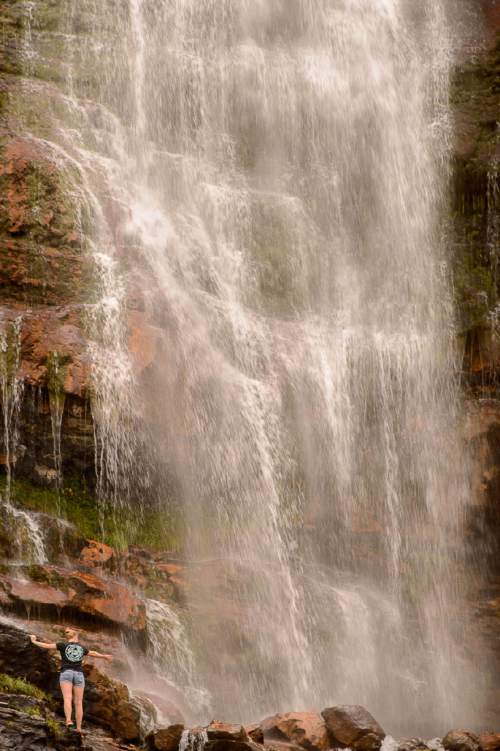
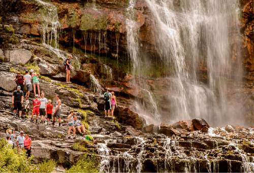
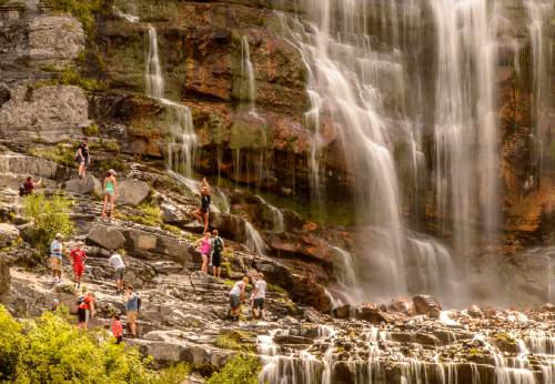
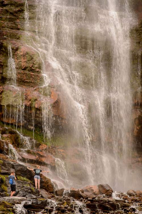
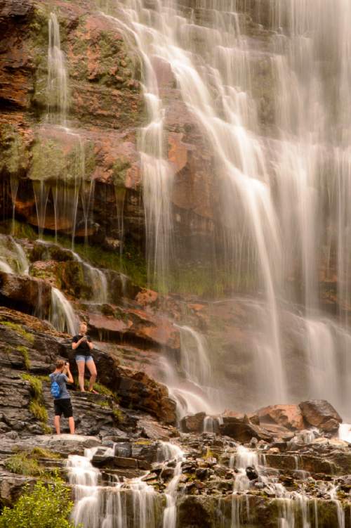
Meanwhile, a Flash Flood Watch was ordered through Friday evening for an area including the San Rafael Swell, Glen Canyon Recreation Area, Green River, Hanksville, Kanab, Escalante and Capitol Reef National Park. Thunderstorms may generate sudden flooding of usually dry arroyos and stream and river beds, as well as urban streets plagued by poor drainage.
Thanks to storm clouds and scattered rain showers, temperatures will range in the low- to mid-90s along the Wasatch Front through the weekend. Thanks to those thunderstorms drifting over southern Utah's horizons, the triple-digit temperatures of past weeks will give way to the mid-90s.
The Utah Division of Air Quality rates the entire state — excepting "green," or healthy Box Elder, Cache and Washington counties — as "yellow," or compromised when it comes to particulate pollution levels through this weekend.
The Intermountain Allergy & Asthma website reported that mold was "high" and chenopods "moderate" on its pollen index as of Friday, but other allergens were either "low," or did not register at all.
For more extensive forecast information, visit The Salt Lake Tribune's weather page at: http//www.sltrib.com/weather/.
Twitter: @remims