


This is an archived article that was published on sltrib.com in 2015, and information in the article may be outdated. It is provided only for personal research purposes and may not be reprinted.
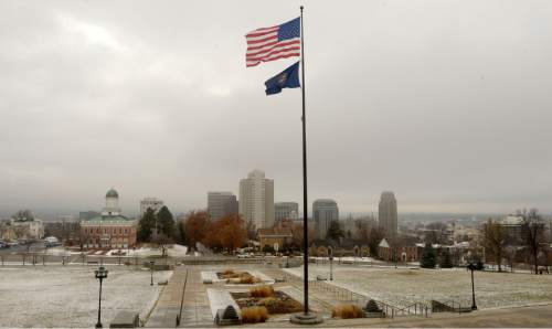
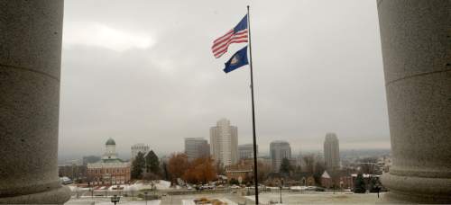
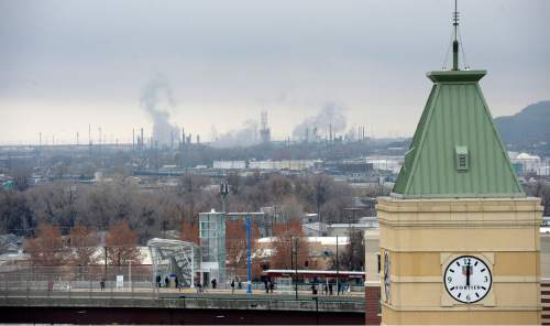
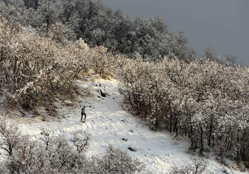
A freshening storm brought snow to the state from north to south while scrubbing the inversion-plagued urban valleys of pollution.
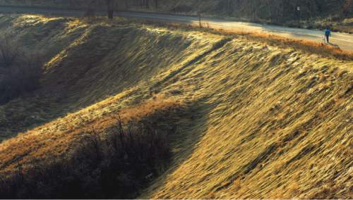
Up to nearly a foot of new snow was expected to fall by early Wednesday morning from Logan running south through Brigham City, Ogden, Salt Lake City, Provo, Nephi and Cedar City to St. George. The storm, which had dumped up to 2 feet of snow on the northern mountains Monday, also was blanketing high desert pockets of eastcentral and southeastern Utah from Green River to Blanding and Bluff.
The National Weather Service also predicted 1-3 inches of snow for the region's valleys, which locally higher totals along northern Utah's benches.
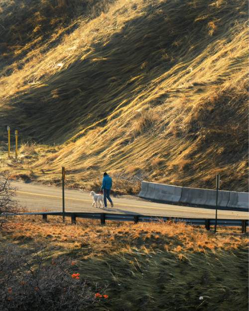
However, the northern Wasatch Front looked for a letup in the precipitation Wednesday, when high temperatures were to range into the low- to mid-30s — same as on Tuesday — after overnight lows in the teens to low-20s.
Southern Utahns can expect highs Wednesday in the low- to mid-50s, same as Tuesday's forecast, under mostly clear and sunny skies. Overnight lows are to be in the upper-20s to low-30s.
The storm activity was welcomed by the Utah Division of Air Quality, which graded the entire state as "green," or healthy for breathing going into the midweek.
Fresh snowfall kept the risk of potentially deadly backcountry snowslides elevated, however. The Utah Avalanche Center as of Tuesday morning rated the risk at "moderate" for all the state's mountain ranges with the exception of the Moab district, which was "low."
More extensive forecast information is available at the Tribune's weather page: http://www.sltrib.com/weather.
Twitter: @remims