

This is an archived article that was published on sltrib.com in 2013, and information in the article may be outdated. It is provided only for personal research purposes and may not be reprinted.
Utahns became Wednesday among the first residents of Earth to enjoy a service that Google Maps hopes to expand to billions of people worldwide someday: giving live updates on maps about when the next bus or train should arrive at any stop.
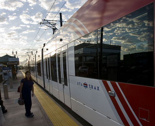
The new service was launched for New York City, Washington, D.C., and the Utah Transit Authority. Instead of providing information just about schedules, it shows when a bus or train is delayed and when it should arrive.
UTA was chosen largely because it "was one that had the information ready and wanted to make it available," said Soufi Esmaeilzadeh,partnership development manager for Google Maps. He said it's also important to make such information available in big metropolitan areas first, where more people may be using mass transit.
She noted that back in 2005, Google launched an effort to add to its maps where transit stops are located, and allow accessing schedule information by clicking on icons.
"We now have coverage in 800 cities in over 25 countries, and information for over a million stops around the world," Esmaeilzadeh said.
The new effort launched Wednesday goes an extra step to identify delays, and give live information about when the next couple of buses or trains are expected.
UTA spokesman Chad Saley said UTA for years has been making such information available to anyone who wants to use it, so various apps had been developed for smart phones. He said Google Maps should make it available to far more riders, and is a service familiar to most people who use it for directions.
"We're excited that they chose us to be part of this because it gives our riders another opportunity to find transit information," he said.
Saley said UTA has GPS devices on many of its trains and buses to constantly report where they are at any given moment. UTA uses algorithms and history to figure out how long it should take to get from where they are to the next stop.
Saley said such information is also used on electric signs on some train platforms, although some use only scheduled information instead.
Saley said UTA started such work to better help riders better plan schedules and warn them of delays. The work is also somewhat tied to an effort by UTA to convert to a system that soon will charge fares based on distance traveled, instead of flat fares for trips of any length on TRAX and buses.
However, Saley said other efforts such as "tap on, tap off" electronic passes have been providing information that is even more important in the transition to distance-based fares.
Esmaeilzadeh said Google intends for what is now happening in Utah, New York and Washington to eventually happen worldwide.
"We are working with as many agencies as possible who are ready to make their data available," she said. "What we think about all the time is making our maps as comprehensive, accurate and useful as possible for our billions of users."