


This is an archived article that was published on sltrib.com in 2014, and information in the article may be outdated. It is provided only for personal research purposes and may not be reprinted.
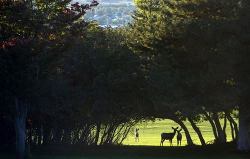
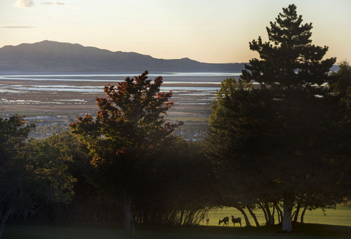
It's quintessential "sweater weather" for much of Utah, with plunging temperatures and winds to rattle the changing leaves.
Scattered rain and snow will continue mainly in the northern mountains Sunday morning before tapering off in the afternoon, according to the National Weather Service. Much of the state can expect gusty northwest winds, which will strengthen across the mountains and eastern valleys between Price and Fremont Junction, the weather service adds.
Sunday's temperatures have dropped 10 to 15 degrees from Saturday's high, with an expected high of only 60 in Salt Lake City. St. George, meanwhile, can expect a high of 81.
Overnight temperatures could drop to close to or below freezing in the normally colder valleys. The Wasatch Front will stay above freezing, but people could see frost in the colder outlying areas, according to the weather service.
Otherwise, the air quality remains healthy statewide Sunday and into Monday, according to the Utah Division of Air Quality.
For more detailed forecast information, visit The Salt Lake Tribune's weather page.
Twitter: @mikeypanda