


This is an archived article that was published on sltrib.com in 2014, and information in the article may be outdated. It is provided only for personal research purposes and may not be reprinted.
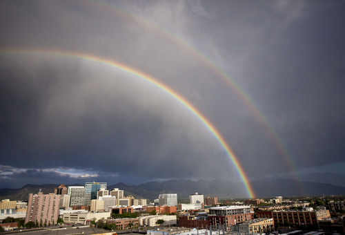
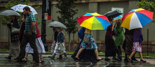
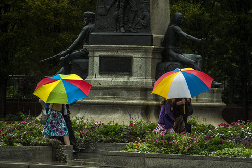
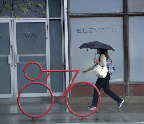
Utahns have a hard time thinking about drought when they have to scrap their weekend plans due to heavy rain, the patio pots have standing water and their homes are flooding.
The state's season-ending water report was equally conflicted: Unseasonal wet weather in August and September didn't make much of a dent in Utah's overall water picture.
Despite an exceptional amount of precipitation falling from the sky in the past few months, water watchers remain cautious about Utah's long-term water stores. The 2013-2014 water year ended Sept. 30.
"It was deceiving," National Weather Service hydrologist Brian McInerney said. "We had below average snowpack and low spring stream flows, but the summer rains dumped across the state. July and August were wonderful and September was another banner month which helped us end really strong."
The question is, McInerney said, does summer precipitation add to the culinary water supply?
"The answer is no. When it is raining, it is nice on your psyche and you feel good about turning your sprinklers off, but summer rains play a very small role in the big water picture," he said.
Snowpack is the most important factor in a strong culinary water year.
There are certainly benefits to a wet summer. It was a quiet wildfire year. And mountain range forage is in good shape for wildlife and livestock.
The rains of September were unusual — 229 percent above average, according to the Utah Climate and Water Report released this week by the Natural Resources Conservation Service. That total pushes Utah to 100 percent of average precipitation for the water year.
Soil moisure was boosted as well — up to 70 percent of average, compared to 32 percent last year at this time.
Reservoir storage, on the other hand, remained at 55 percent of capacity — the same level as last year.
The water report, however, states that many reservoirs are currently adding more water than is flowing through their dams, with above average stream flows for this time of year.
"Currently many reservoirs have inflows exceeding outflow and are slowly banking some water for next year," the report states. "Soil moisture at both the valley and the mountain areas is exceptionally high for this time of year — at many sites, the upper foot of soil moisture is similar in magnitude of snowmelt periods, near saturation."
Looking ahead to the 2014-15 water year, the Climate Prediction Center of the National Oceanic and Atmospheric Association is suggesting that December through February may be a warmer than average winter for most of Utah, with a small portion of southern and southeastern Utah possibly experiencing above normal precipitation.
"We were hoping for strong El Nino, but it looks like it might be a mixed bag for northern Utah," McInerney said. "We have had three years of below average runoff dominated by a high pressure ridge over California. The probability of that coming back four years in a row is low. It just doesn't happen very often."
But four years of back-to-back low snowpack did happen during the years from 2000 to 2004.
Twitter: @BrettPrettyman