


This is an archived article that was published on sltrib.com in 2014, and information in the article may be outdated. It is provided only for personal research purposes and may not be reprinted.
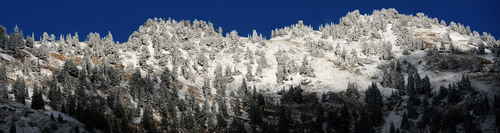
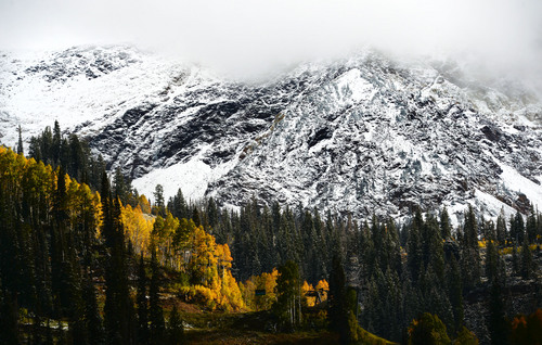
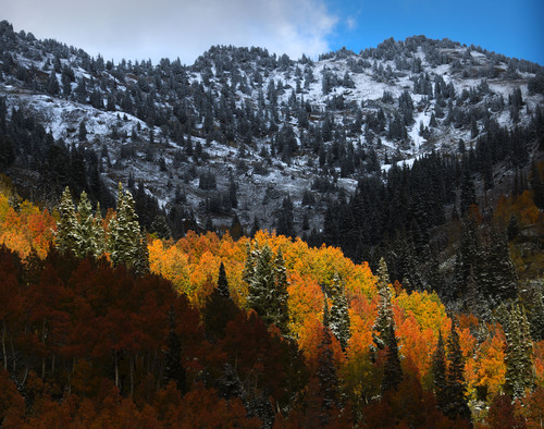
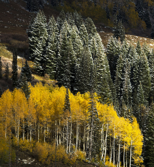
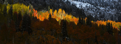
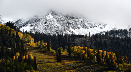
A furtive, icy presence has been spotted in northern and central Utah's high deserts and mountains, but it's not Sasquatch. Rather, think of Old Man Winter making an autumnal raid.
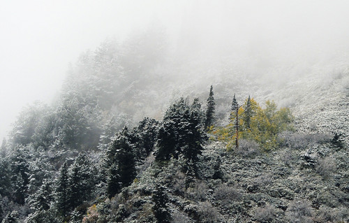
On Wednesday, the National Weather Service issued a Winter Weather Advisory for northeastern Utah, covering the area north of Vernal to the Wyoming border. Forecasters also issued a Hard Freeze Watch for eastern Utah's Duchesne County, central Utah's Delta-Manti-Richfield region, and Milford in the southwestern area of the state.
The Winter Weather Advisory ran through midnight Wednesday, while the Hard Freeze Watch extended through Thursday morning.
The forecast for Salt Lake and Tooele counties was milder, but still represented a dramatic shift from last week's heat: thunderstorms and rain showers were on tap, along with high temperatures on Wednesday in the mid- to upper-50s.
On Thursday, after overnight lows in the low-40s, the Wasatch Front looked for highs in the upper-50s to low-60s under sunnier skies.
Southern Utahns expected mostly clear, sunny skies and highs in the upper-70s, though overnight lows were forecast to dip to the mid- to upper-40s both days.
The Utah Division of Air Quality rated the entire state at "green," or healthy breathing conditions entering the end of the work week.
The Intermountain Allergy & Asthma website listed only sagebrush as "high," on its pollen index as of Wednesday, while mold was "moderate."
To find more detailed forecast information, visit the Tribune's weather page at sltrib.com/weather.
Twitter: @remims