


This is an archived article that was published on sltrib.com in 2014, and information in the article may be outdated. It is provided only for personal research purposes and may not be reprinted.
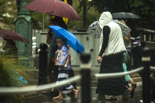
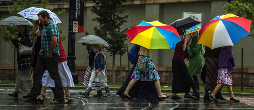
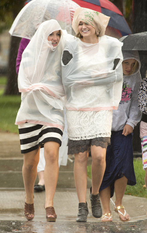
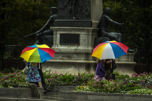
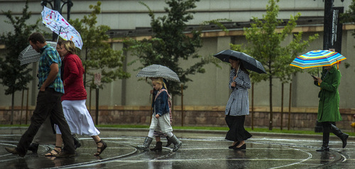
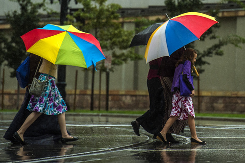
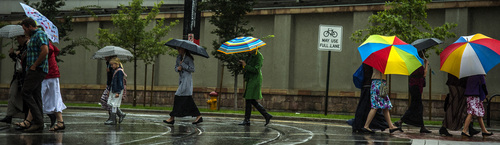
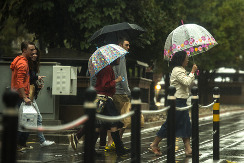
A rainy weekend closed roads in northern and southern Utah on Saturday, and the wet weather isn't letting up.
A chance of more scattered showers and thunderstorms persists statewide on Sunday. Salt Lake City is expected to see a high of 68 on Sunday, followed by 66 on Monday.
St. George will see highs of 77 and 76, respectively, according to the weather service.
The National Weather Service expects northern Utah could see rain — even snow, above 9,500 feet — clear through Wednesday. Freezing temperatures are possible in some of the normally colder northern valleys Wednesday and Thursday morning, according to the weather service.
Showers and thunderstorms pounded the state Saturday, dropping temperatures into the 70s in most areas. Zion National Park got hit hard, with flooding closing all of its roads Saturday morning.
Salt Lake City International Airport broke its rainfall record for Sept. 27; the airport received 1.21 inches Saturday, compared to the previous record-holder of 0.84 inches in 1982, according to the weather service.
As of 1 p.m. Saturday, Enterprise saw more than 2 inches of rain, according to the weather service. On the other end of the state, Snowville received more than 1.5 inches. In between, Draper, Bountiful, South Ogden and Logan saw about an inch of rain, whereas Sandy received about 1.2 inches. As of 4:30 p.m., the weather service was reporting snow in the highest elevations of Utah.
The overnight rain made some Tooele County roads near Lone Rock impassible, prompting Tooele County search and rescue crews to help at least 40 people after they got stuck Saturday morning. Some of the vehicles got stuck up to the axles, while others rolled on their side on embankments.
Flooding shut down both directions of State Route 196 at mile post 12 in Tooele County, according to the Utah Department of Transportation.
The weather service also reported that water and debris has closed State Route 31 near Huntington Canyon.
The Zion–Mt. Carmel Highway, Kolob Canyons Scenic Drive — in the northern section of Zion National Park — and Zion Canyon Scenic Drive beyond Zion Canyon Lodge were closed, according to the park. By 7 p.m., the Zion–Mt. Carmel Highway reopened.
Crews are working to reopen the roads as soon as it is safe to do so, the park added.
A flash flood watch remains in effect through late Saturday night for much of central and south-central Utah — as far north as the Wasatch Plateau and Book Cliffs and as far south as the Utah-Arizona border, according to the weather service. The threat will be greatest across slot canyons, slick rock areas, normally dry washes, small streams in steep terrain and near recent burn scars, the weather service adds.
Cities and towns with poor drainage will be at risk of flooding and travel will likely become difficult on back country roads. Main stem rivers will significantly rise as well.For more extensive forecast information, visit The Tribune's weather page at http://www.sltrib.com/weather.
Twitter: @PamelaMansonSLC, @mikeypanda