


This is an archived article that was published on sltrib.com in 2014, and information in the article may be outdated. It is provided only for personal research purposes and may not be reprinted.
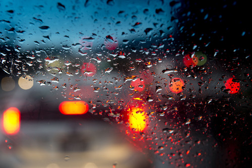
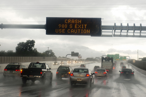
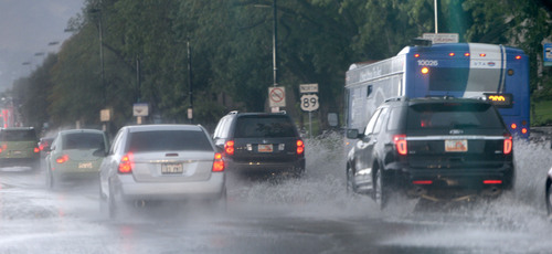
Heavy rains made an unwelcome encore Tuesday, with especially heavy showers closing a stretch of Interstate 15 between St. George and Las Vegas, and temporarily closing the popular southwestern Utah tourist mecca of Zion National Park.
Utah, Arizona and Nevada transportation officials said flooding and debris had initially forced closure of I-15 from the Southern Parkway Exit in St. George running southwest through the Arizona Strip and into Nevada.
As of Tuesday, the Utah Department of Transportation said that I-15 from St. George to Mesquite, Nev., had been reopened.
But most of a nearly 60-mile stretch of the freeway in Nevada's Clark County, from Mesquite to Las Vegas, remained closed for repairs that could take several days. Motorists were being diverted to U.S. 93 in Nevada as an alternate route to Las Vegas.
Zion National Park officials stopped operations at 1 p.m. Tuesday after heavy rain caused the Virgin River to rise and made park routes impassable, said park spokeswoman Aly Baltrus. More than 2.3 inches fell Monday and Tuesday, according to National Weather Service records.
A news release said crews recorded the seventh-highest river level in more than 100 years Tuesday. Flooding and debris were reported on both the Scenic Drive and the Zion-Mount Carmel Highway.
Visitors up Zion Canyon, except those staying at the lodge, were evacuated.
By 3:30 p.m., all roads in the park were reopened and shuttle service had resumed.
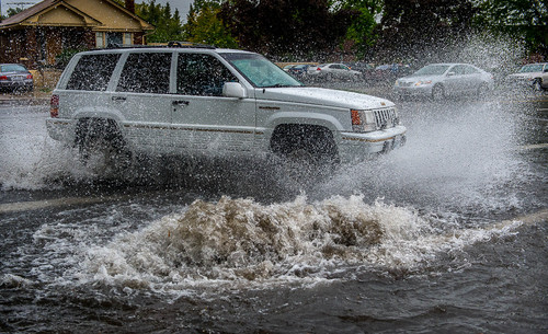
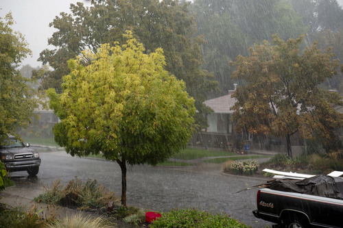
Torrents of rain triggered localized flooding near Ivins, where 3.65 inches fell Monday and Tuesday. In Ivins and neighboring Santa Clara, several homes and streets were flooded Tuesday, according to Officer Chad Holt with the Santa Clara-Ivins Police Department. As skies cleared Tuesday afternoon, the waters began to subside.
Holt said flooding inside the homes was light but crews were surrounding some houses with sandbags as a precaution. Some classes were cancelled in the Washington County School District.
"There was just an awful lots of water that came down in a short period of time," said Washington County Emergency Services Director Pete Kuhlmann.
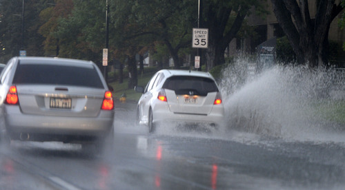
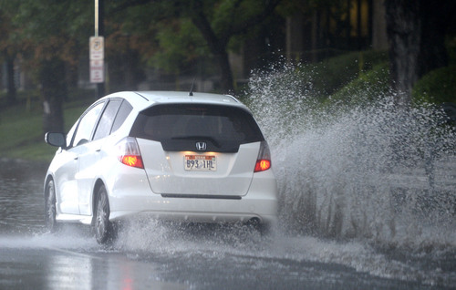
In northern Utah, Springville recorded 1.66 inches, with 1.4 in Layton. Salt Lake City and Provo reported around 0.50 and 1.25 inch, respectively. Localized street flooding was reported throughout the Salt Lake Valley.
In Nevada, 190 people from an Indian reservation were evacuated Monday and officials feared riverbanks could overflow after 4 inches of rain fell in a two-hour period in Moapa, northeast of Las Vegas. Authorities were keeping an eye on the Virgin River, which was at 9 feet and floods at 11 feet.
Tribal police warned that the waters of the Muddy River, which feeds the Virgin River, were close to breaching a dam on the Moapa River Reservation.
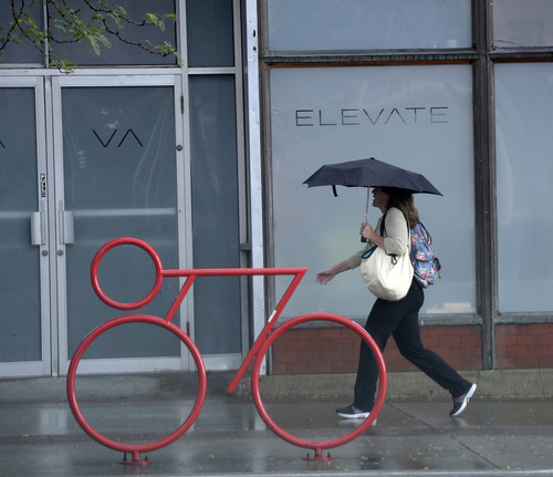
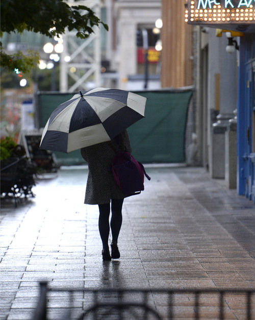
The Wasatch Front had its own cycle of thunderstorms to contend with, but rainfall was isolated and diminished ahead of sunny weather expected on Wednesday.
High temperatures Wednesday for northern Utah were to range into the mid-70s, the same as Tuesday's forecast.
Despite the wild, wet weather expected in southern Utah, highs on Wednesday were to climb to near 90 degrees, up about 5 degrees from Tuesday's forecast for the mid-80s.
Rain does do this much for Utahns — it clears away pollution like a god-sized, sopping broom. The Utah Division of Air Quality forecast "green," or healthy conditions for the entire state into the midweek.
Still, the Intermountain Allergy & Asthma website warned Tuesday that ragweed was "very high" and chenopods and sagebrush were "high" on its pollen index.
To find more detailed forecast information, visit the Tribune's weather page at http://www.sltrib.com/weather.
The Associated Press contributed to this story.
remims@sltrib.com Twitter: @remims