


This is an archived article that was published on sltrib.com in 2014, and information in the article may be outdated. It is provided only for personal research purposes and may not be reprinted.
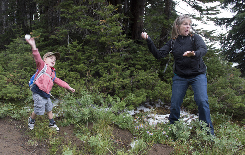
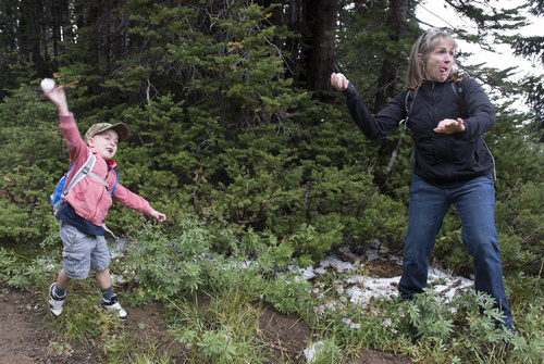
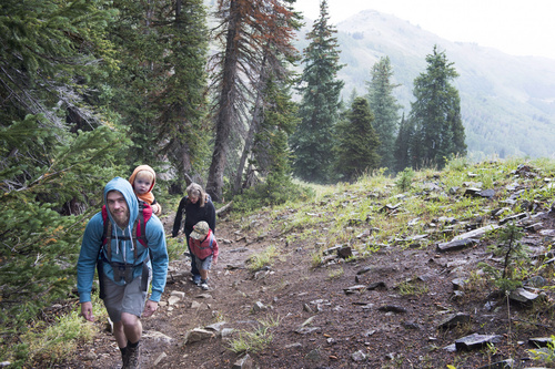
Following a cool Satuday, with highs in the 60s and 70s and some snow in the mountains, the Wasatch Front warms up a bit for Sunday.
The National Weather Service recorded a Saturday high of 77 in Wendover; 72 in Lehi; 73 in Salt Lake City and Bountiful; 65 in Logan; and 63 in Park City. The cooler temperatures were accompanied by isolated showers, which left a trace to a quarter inch of rain.
Highs on Sunday should go up a few degrees, according to the weather service, and skies should be partly cloudy. Temperatures are expected to climb a little more on Monday.
In southern Utah, Kanab saw a high temperature Saturday of 82, which is followed by an expected high of 81 on Sunday. St. George meanwhile saw a Saturday high of 90, with a predicted high on Sunday of 91. Monday highs are predicted to hit the low 80s in Kanab and the low 90s in St. George.
For more extensive forecast information, visit The Tribune's weather page at http://www.sltrib.com/weather.
Twitter: @PamelaMansonSLC