


This is an archived article that was published on sltrib.com in 2014, and information in the article may be outdated. It is provided only for personal research purposes and may not be reprinted.
The latest Utah Climate and Water Report confirms what any denizen of southern Utah's high desert and redrocks could tell you: It's hotter than hell and drier than the heart of a haystack out there.
Looking back over June, the July edition of Natural Resources Conservation Service study shows that the Southwestern Utah Basin in particular was parched. Nary a drop of rain fell there, capping the October-June "water year" total at just 56 percent of normal.
No rain means that the soil moisture for the region known as Utah's Dixie was even drier than its normal 42 percent saturation by volume, coming in at a comparatively powdery 37 percent. Reservoir storage suffered, too, though at 52 percent of capacity it still beat July 2013's 48 percent — largely thanks to an unusually wet May (140 percent of normal).
"Current runoff for points with unregulated flow remains well below average for most of central and all of southern Utah," summarized Randy Julander, supervisor of the Utah Snow Survey and a primary preparer of the report. In northern Utah, flow is "near normal."
Statewide, stream flow readings as of July 1 were at 48 percent of normal; not great, to be sure, but markedly better than the 8 percent of normal reported this time last year.
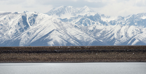
While soil moisture in southern Utah is "very dry," northern Utah is at or near normal levels, Julander noted.
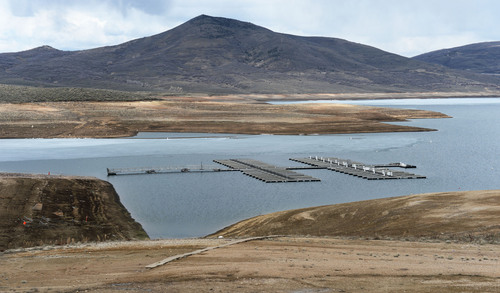
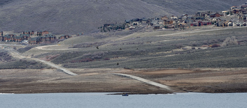
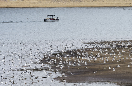
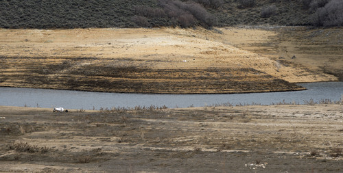
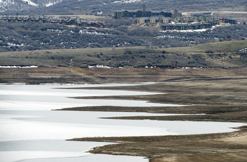
However, "Reservoir storage is declining, currently at 66 percent of capacity across the state, down 5 percent from last month and 4 percent less than last year," he stated.
A possible bright, wetter spot was on the horizon, though: the Climate Prediction Center is forecasting that the July-September period should bring near normal temperatures along with above normal precipitation.
Precipitation totals along the Wasatch Front were, while not cause for elation, were still enough to bring a general sigh of relief: the Raft River region, which includes northwestern Utah's Box Elder County, was at 100 percent of normal for the water year; the Bear River district, including Cache County, was at 96 percent; Weber 84; and the Provo-Utah-Jordan district (which also encompasses Salt Lake County) was 81 percent of normal.
The Northeastern Uintahs district recorded 84 percent; Duchesne River 74; Lower Sevier 82; Price-San Rafael 87; San Pitch 82; Beaver River 77; Upper Sevier River 71; Dirty Devil 83; Escalante River 78; Southeastern Utah 67; and as reported earlier, Southwestern Utah came in at 56 percent.
Twitter: @remims