


This is an archived article that was published on sltrib.com in 2014, and information in the article may be outdated. It is provided only for personal research purposes and may not be reprinted.
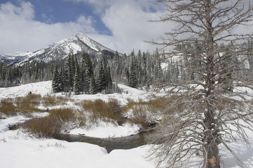
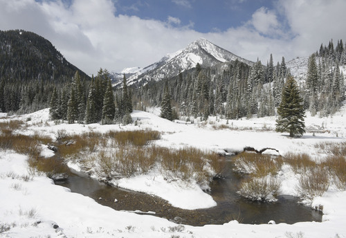
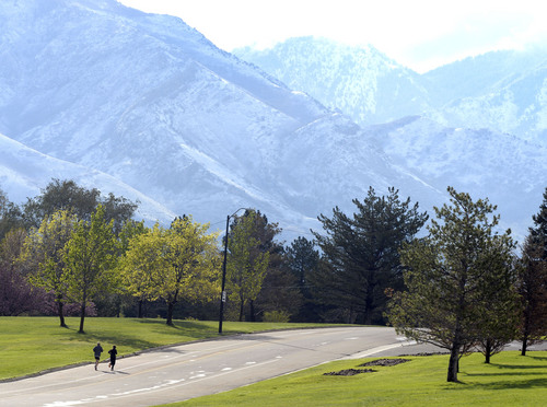
Much of northern and central Utah was greeted Monday with a brisk chill, icy roads and snow.
But, according to the National Weather Service, conditions across the state should only improve as the week progresses.
A winter weather advisory remained in effect Monday morning for areas along the Wasatch and Uinta Mountains near Interstate 80.
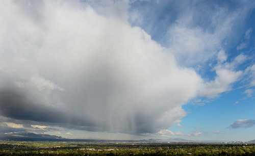
The rest of the state was warned to prepare for more precipitation, resulting snow accumulation in the mountains and a mixture of rain, freezing rain and snow in the valleys, according to a hazardous weather outlook issued by the weather service.
Daytime winds could bring on a "hard freeze" Monday night in the central and northern valleys, with temperatures that may dip as low as the mid-30s.
By Tuesday, the skies are expected to clear with a northwest wind blowing clouds out of the Salt Lake Valley.
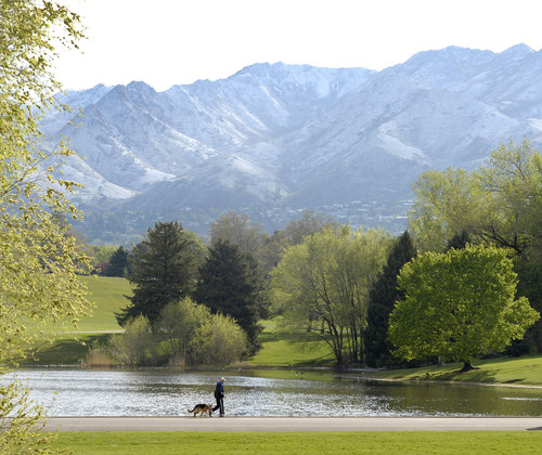
In the southern half of the state, the skies were sunny Monday morning and temperatures hovered in the 50s. Driving conditions were clear and little to no rainfall was expected.
Air quality throughout the state remained in the green healthy zone, according to Utah's Division of Air Quality.
Allergens, such as mulberry, maple, sycamore and oak remained at "very high" levels, according to Intermountain Allergy & Asthma's daily pollen count.
Twitter: @marissa_jae