


This is an archived article that was published on sltrib.com in 2014, and information in the article may be outdated. It is provided only for personal research purposes and may not be reprinted.
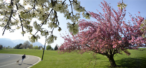
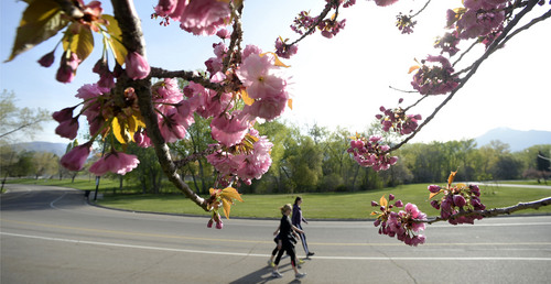
Like dust, or hopes springing high, the temperature Monday is only going to rise.
Sunny skies and predicted highs of near-80 degree temperatures will hit Salt Lake City, as temperatures remain slightly lower throughout the rest of the state — a high of 73 degrees in Logan, 74 in Price and 77 in Cedar City.
But it won't last long.
According to the National Weather Service, a cold front moving into the area will bring winds strong enough to necessitate a high-wind watch.
"Very strong southwest winds" will blow through the state Tuesday, the watch advises, peaking in the afternoon hours and bringing with it some precipitation.
Gusts of up to 60 mph may be felt in the late morning, early afternoon, followed by 30 to 40 mph gusts from the northeast.
"Dangerous crosswinds are expected along all east-west oriented crossways," including Interstate 80, the advisory says. It warns trucks and other tall vehicles are at risk of being blown about by the wind, while other motorists should watch for debris and "blowing dust," which is likely to affect visibility.
Outdoor furniture and other items should be moved indoors or secured.
The Utah Division of Air Quality rated the entire state "green," or healthy for breathing through Tuesday.
But allergy sufferers beware: cedar pollen levels remained "very high" as the week got underway, with oak and maple at "high," according the Intermountain Allergy & Asthma website. Sycamore, ash and birch pollens were at "moderate" levels.
For more extensive forecast information, visit the Tribune's weather page at http://www.sltrib.com/weather.
Twitter: @Marissa_Jae