


This is an archived article that was published on sltrib.com in 2014, and information in the article may be outdated. It is provided only for personal research purposes and may not be reprinted.
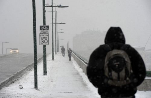
What would have been a frosty migraine for commuters late Thursday became less painful after a snowstorm moved on mid-afternoon, though more percipitation was expected for the Friday morning drive.
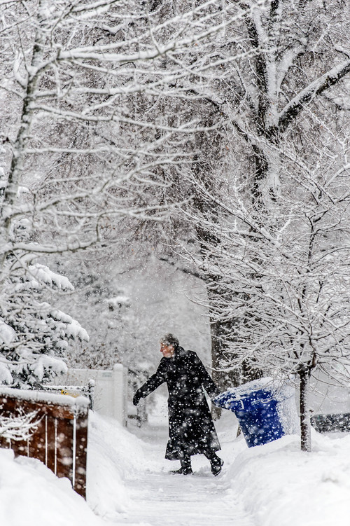
Little precipitation fell Thursday during the early trek into the state's urban valleys, but that changed by the late morning when snow began falling in earnest, beginning at higher elevations before moving into the valleys.
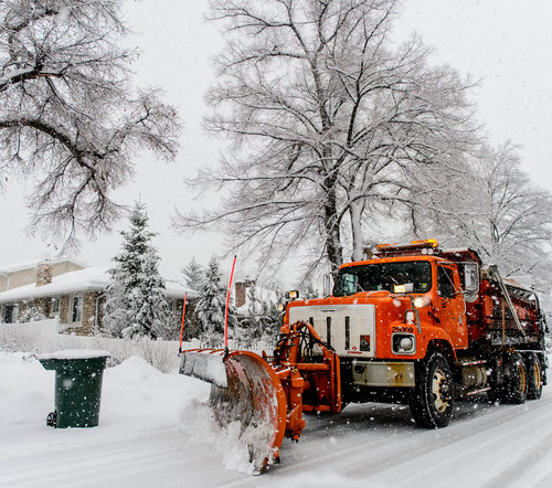
The snow fell steadily into Thursday afternoon, in places accompanied by thunder. But by mid-afternoon, the storm had moved passed the Salt Lake Valley and soon out of Utah County as well. The Salt Lake City International Airport ultimately saw 2.6 inches of snow. Brighton received the most precipitation, with 17 inches of snow, followed by Snowbird and Alta, both at 12 inches.
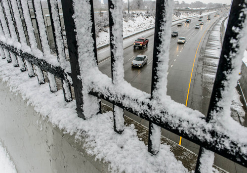
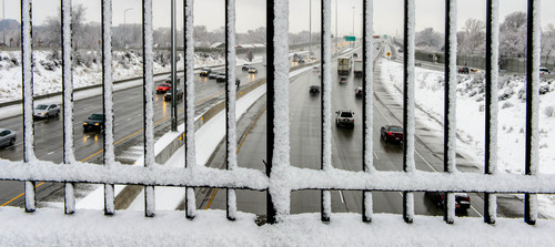
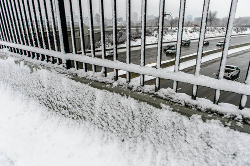
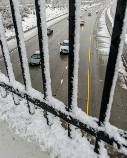
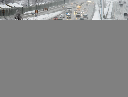
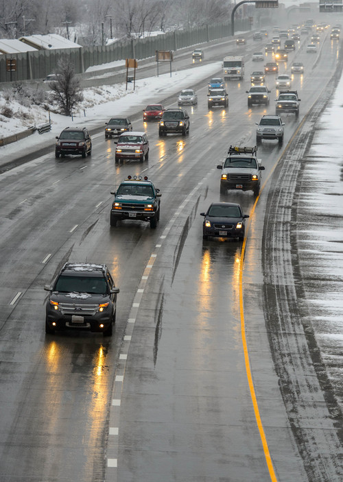
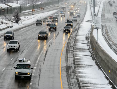
The afternoon departure of the storm meant a fairly smooth commute for drivers along the Wasatch Front on Thursday. Utah Highway Patrol Trooper Todd Royce said accident volumes were typical during the afternoon and evening and the weather did not create any major problems along most highways. The one spot that did see trouble was Parleys Canyon, Royce added, where semi trucks were forced to stop mid-ascent to put chains on their tires.
Monica Traphagan, a meteorologist with the National Weather Service in Salt Lake City, said the weather should remain relatively calm until about sunrise on Friday, when another storm should roll into the Wasatch Front.
Indeed, the National Weather Service issued two storm-related advisories: A full-fledged Winter Storm Warning was in effect through 5 p.m. Friday for the northern Wasatch Front and the Cache Valley. Up to 10 inches of snow was forecast for that area, which included Logan, Brigham City, Ogden and Bountiful, with totals rising as high as 20 inches in the mountains.
Then, a Winter Weather Advisory was in place through midnight Thursday for swaths of northern Utah including the Great Salt Lake Desert, Salt Lake City and the Wasatch Plateau, and extending as far south as Price. Forecasters predicted anywhere from 2 to 6 inches of wind-driven snow in the valleys, with 3-8 inches along the benches.
Mike Conger, also a NWS meteorologist, said Friday's storm would last most of the day along the Wasatch Front and could include rain as well as snow. He expected the northern areas of the Wasatch Front in Davis and Weber counties to see the most significant impact on the morning commute.
Thursday's storm — which led to periodic 4-wheel drive or tire chain restrictions in both Big and Little Cottonwood canyons, as well as Provo and Sardine canyons — was the second pulse from an increasingly strong Pacific front this week, with the third wintry blow expected by Sunday.
Highs Friday in the Salt Lake and Tooele valleys should hover in the 30s after overnight lows in the low-20s, same as the forecast for Thursday.
Traphagan said another storm should arrive late Saturday and early Sunday.
Southern Utahns will be blissfully excused from the latest storm, though. Highs in Utah's Dixie on Friday were to climb into the low-50s under sunny skies, after a slightly cloudy Thursday in the mid-50s. Overnight lows will be in the low-30s.
The Utah Division of Air Quality predicted "green," or healthy breathing statewide on Friday.
For more extensive forecast information, visit the Tribune's weather page at sltrib.com/weather. Road Weather Highlights For Thursday •
Road snow/slush will impact northern /central valley routes between the following times:
— Cache Valley 7 a.m. to 5 p.m. Thursday.
— Ogden area 8 a.m. to 6 p.m. Thursday.
— Salt Lake Valley 9 a.m. to 6 p.m. Thursday.
— Utah Valley 10 a.m. to 6 p.m. Thursday.
— Road snow/slush will impact northern mountain routes (including I-80 over Parleys Summit) Thursday morning through Thursday evening.
— Utah Department of Transportation