

This is an archived article that was published on sltrib.com in 2014, and information in the article may be outdated. It is provided only for personal research purposes and may not be reprinted.
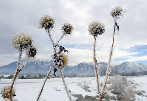
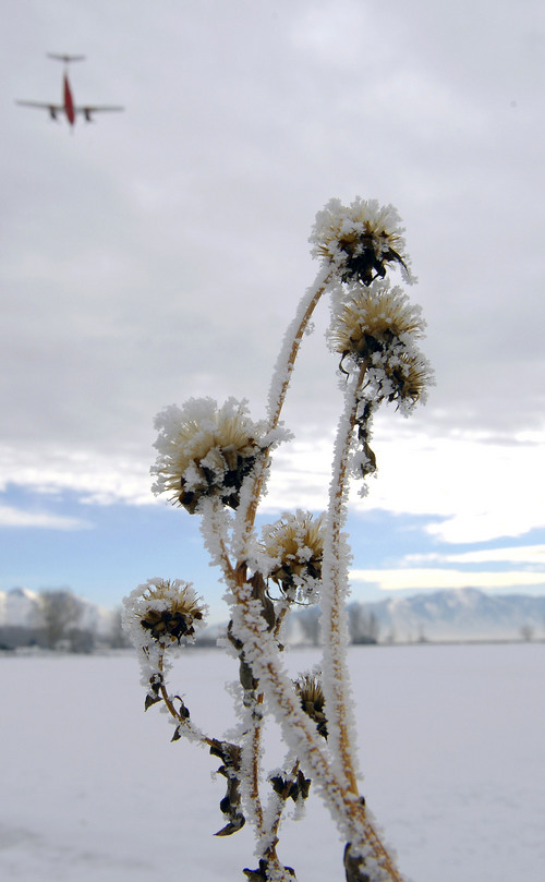
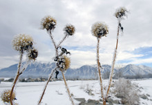
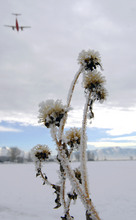
Approaching the New Year's first weekend, there's hope on the horizon for easier breathing — if you can see it through the smog.
A weak storm system moving into the region is expected to begin scouring the inversion-clogged urban valleys of Utah on Friday, with conditions markedly improving by Saturday.
On Thursday, the Wasatch Front counties of Salt Lake, Davis, Weber and Box Elder all were in the "red," or unhealthy zone, according to the Utah Division of Air Quality. That grade carried a mandatory ban on solid-fuel burning and all outdoor, open burning, along with advisories to the elderly, very young and those with heart and lung ailments to avoid outdoor activity.
Friday's air quality was forecast to be somewhat better at "orange," still considered unhealthy for "sensitive" groups. By Saturday, though, it was hoped all areas of the state would be at "moderate" or "good" air quality levels as the storm's atmospheric mixing blew accumulated pollution out of the valleys.
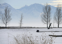
The National Weather Service predicted that the new cold front will arrive in force Friday evening, though it won't bring much by way of precipitation — just some light rain or snow.
Temperatures Friday along the Wasatch Front will range into the upper-30s, same as expected on Thursday. Overnight lows will be in the upper-teens.
Southern Utahns looked for downright balmy temperatures for winter: the upper-50s both Thursday and Friday, though overnight readings will plunge to the mid- to upper-20s.
On Thursday, the Utah Avalanche Center issued "moderate" risk ratings for potentially deadly snowslides in the state's mountains.
For more extensive weather information, visit the Tribune's weather page at http://www.sltrib.com/weather.
Twitter: @remims