


This is an archived article that was published on sltrib.com in 2013, and information in the article may be outdated. It is provided only for personal research purposes and may not be reprinted.
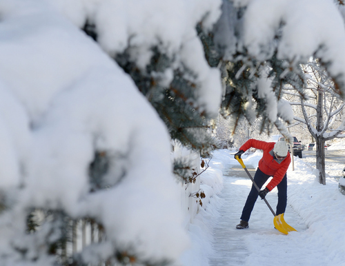
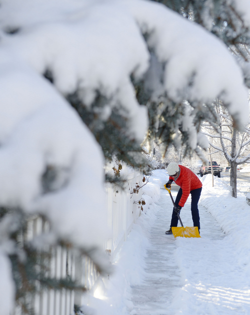
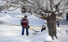
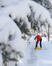
Breathe deep, and enjoy the snow — a weekend forecast for lots of the latter makes the former possible, after all.
The latest winter storm was to roll into the Wasatch Front late Friday, according to National Weather Service meteorologist Mike Conger. The storm, which is coming from the northwest, will pick up steam through the night and could ultimately drop as much as 4 inches of snow on the valley floor in Salt Lake County. The benches will likely see even more precipitation and Conger said the mountains in the northern part of the Wasatch Front could be blanketed in as much as a foot snow.
Conger added that the storm will generally follow the Interstate 15 corridor, hitting the southern Wasatch Front later Saturday, and should wind down by evening.
That forecast prompted the National Weather Service to issue a Winter Weather Advisory for roughly the northern third of Utah beginning at 11 p.m. Friday and extending through 9 p.m. Saturday.
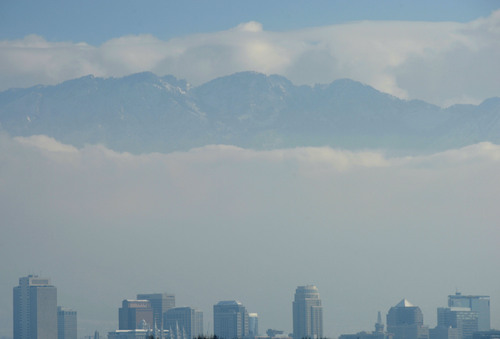
Thanks to the atmospheric scrubbing of storm activity, the Utah Division of Air Quality put breathability in the "green," or healthy range for almost all monitoring districts of the state on Saturday.
Northeastern Utah's Duchesne and Uintah counties, which were "yellow," or moderate, were the only exceptions.
Conger said a series of small weather events should keep the air in the valleys relatively clear through Christmas, though more haze could set in later in the week.
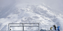
The prospect for more higher-elevation snowfall in the wake of Thursday's wintry blast convinced the Utah Avalanche Center to elevate the risk to "high" for potentially deadly backcountry snowslides for the mountains of Ogden, Provo and the Uintas. Logan and Salt Lake slopes were graded as "considerable," while the Skyline and Moab districts earned "moderate" avalanche risk ratings.
The Wasatch Front's temperature expectations for Saturday were in the mid-30s, up from the low-30s forecast Friday. Overnight lows were to be in the mid-20s. Conger said the temperatures will be consistently below freezing, ruling out the possibility of more freezing rain.
Southern Utahns were to shiver with lows in the mid- to upper-20s, but daytime temperatures were forecast to rise into the mid- to upper-40s.
For more extensive forecast information, visit the Tribune's weather page at http://www.sltrib.com/weather.
Twitter: @remims Cottonwood Heights snow removal update
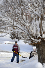
After poor performance ratings follow their response to a Dec. 3 snowstorm, newly hired Cottonwood Heights snow removal company Terracare did better in its second outing Thursday.
Cottonwood Heights police Sgt. Gary Young noted that while there will always be some complaints, the responses to the most-recent snow removal efforts marked a dramatic turnaround for the contractor.
"I have to tell you I've seen and heard just the opposite this time around," Young said on Friday. "Snow removal has been awesome this time around. Most people have been telling us literally what an 'awesome job' they are doing this time."
The dismal performance during the earlier storm — which drew stern criticism from Cottonwood Heights officials inundated with residents' complaints about uncleared or slowly cleared streets — appeared in retrospect to have been "a learning curve" for Terracare in dealing with Utah winters, Young said.
— Bob Mims