


This is an archived article that was published on sltrib.com in 2013, and information in the article may be outdated. It is provided only for personal research purposes and may not be reprinted.
The National Weather Service in Salt Lake City issued a winter storm watch Sunday for much of Utah ahead of the next wintry blast expected to sweep into the state.
The winter storm watch, which begins Monday night and will last through Wednesday afternoon, is in play for southwest Wyoming and the western two-thirds of Utah, except along the Arizona border.
The snow will begin Monday night along the Idaho border and move south into central Utah during the day Tuesday, the weather service said.
The snow is expected to pick up Tuesday night into Wednesday.
It wasn't known Sunday how much snow is expected to fall, but the storm is expected to grow stronger as it moves into central and southern Utah.
Temperatures are also expected to plummet starting Tuesday. Tuesday's high is expected to be 34 degrees while Wednesday's is expected to be 25 in Salt Lake City.
The weather service said even light snow with this system will probably accumulate on roadways since it will be so cold. Travel will be "significantly affected" Tuesday and Wednesday, the weather service warned.
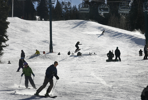
But for those looking to enjoy the sunny skies and more moderate temperatures ahead of the storm, Sunday marked a good day for outdoor enthusiasts looking to tackle the slopes.
There is a low risk of avalanches along all of Utah's northern and central mountain ranges, according to the Utah Avalanche Center.
The only downside is the air quality, which was listed at a "moderate" level both Sunday and Monday.
But the wintry blast was expected to fix that too. By Tuesday, the air quality is expected to return to "green" or "good."
Reporter Michael McFall contributed to this story.
Twitter @sltribjanelle