


This is an archived article that was published on sltrib.com in 2013, and information in the article may be outdated. It is provided only for personal research purposes and may not be reprinted.
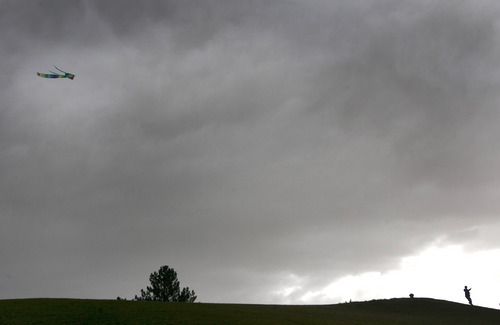
Power-outage-triggering winds acted as the vanguard Monday for a storm system expected to bring cold rain and snowfall to most Utah mountains and some lower elevations by midday Tuesday.
The National Weather Service issued a winter storm warning for large pockets of northeastern, east-central and southeastern Utah beginning 5 p.m. Monday and extending through 11 a.m. Tuesday. Up to 14 inches of snow was predicted to fall.
The mountains along Wasatch Front and Plateau, western Uintas and the Book Cliffs were under a winter weather advisory beginning 6 p.m. Monday and extending through 6 p.m. Wednesday. Up to a foot of snow was predicted during that period.
Preceding all that chilly, wet weather were strong winds. Indeed, the western third of Utah, along with a pocket of central Utah stretching from Price south to Escalante, began Monday under a high wind warning. That advisory, which forecast winds of 30 to 40 mph and gusts up to 60 mph, extended to 7 p.m. Monday.
Winds reaching 71 mph buffeted Iron County late Monday morning, triggering circuit breakers and blowing fuses as lines were either blown together into flashing arcs or trees leaned onto transmission equipment.
Rocky Mountain Power spokesman Dave Eskelsen said two primary outages occurred in Cedar City around 9 a.m. About 120 customers were affected when service from the Lone Tree substation went down, but power was restored there by 10:15 a.m.
However, about half the 200 customers left powerless in the Enoch substation remained without power as of noon. Full service for that part of the grid was not expected until mid- to late-afternoon, Eskelsen said.
On the campus of Southern Utah University the same winds toppled 10 trees and, farther south, in St. George, at least one tree was reported down on the Dixie State University campus.
Two-foot waves, fed by the winds, also capsized a canoe that a father and teenage son were riding back to shore at Rockport Reservoir in Summit County. Both were wearing life jackets and made it to safety, said Eugene Swalberg, spokesman for Utah State Parks.
Other high wind hot spots in Utah as of midday Monday included the remote Lost Creek area of the central Utah mountains at 76 mph, Deer Valley at 72 mph and the upper Cedar Mountains where gusts of 71 mph were reported.
The Salt Lake and Tooele valleys looked for rainfall along with those winds Monday afternoon, after reaching the predicted high of 70 degrees. Overnight lows were pegged in the mid- to upper 30s. Tuesday promised rain, and along the benches snow, as daytime highs dipped into the 50s.
Southern Utahns expected highs in the upper 50s on Tuesday, amid breezy and rainy weather, down from Monday's 70-degree highs and evening showers.
For more on the region's forecast, visit the Tribune's weather page.
Reporter Michael McFall contributed to this story.
Twitter: @remims