

This is an archived article that was published on sltrib.com in 2013, and information in the article may be outdated. It is provided only for personal research purposes and may not be reprinted.
As they say, all good things must come to an end, and so too shall Utah's gorgeous weather.
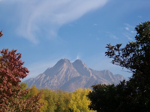
The balmy days of high temperatures in the mid-60s will last through Sunday, but a storm is expected to swoop in over northern Utah by Monday, bringing with it a 30 percent chance of showers during the day and winds from 16 to 20 mph, according to the National Weather Service.
From there, it's likely to get worse. There is a 50 percent chance of showers predicted for Tuesday over Salt Lake City and a possibility of snow showers by Tuesday night. Highs will drop to the low 50s Tuesday.
Linda Cheng, a NWS meteorologist, said the mountains and benches could see snow down to about 5,500 feet. The storm is coming from the Pacific Northwest via the Sierra Nevada mountains.
But Cheng said the storm should be over with by Thursday afternoon, just in time for trick-or-treating on Halloween.
Until then, the high Sunday in Salt Lake City will be 67 with an overnight low of 51 and mostly sunny skies. Highs Monday will remain in the mid-60s.
The high in St. George will be 80 on Sunday and 72 with a slight chance of showers on Monday. Lows will be in the upper 40s and low 50s.
The high in Cache County will be 63 on Sunday and 57 with a 40 percent chance of showers on Monday. Overnight lows will be in the mid 30s to mid 40s. Meanwhile, highs in Moab will remain in the low 70s through Monday.