


This is an archived article that was published on sltrib.com in 2013, and information in the article may be outdated. It is provided only for personal research purposes and may not be reprinted.
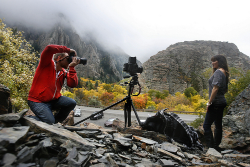
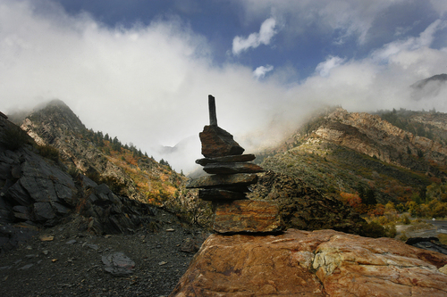
Parts of the Wasatch and Uinta mountains remained under winter storm watches or advisories Sunday as the next wintry batch of weather pushed into the state.
A winter storm warning was in effect for the cities of Manila and Dutch John starting at 6 p.m. Sunday and continuing until 6 a.m. Tuesday. The cities of Woodruff, Randolph, Alta, Brighton and Scofield along with the Mirror Lake Highway were under the winter weather advisory that runs from 6 p.m. Sunday until 11 a.m. Monday.
While the storm was expected to bring some Sunday morning precipitation, the bulk of it was expected to arrive Sunday afternoon.
The National Weather Service in Salt Lake City said while the system isn't expected to be particularly cold, it will drop snow as low as 6,000 feet and snow will accumulate on roadways in the affected areas.
Up to 10 inches of snow is expected at elevations above 8,000 feet with an inch or two possible across southwest Wyoming and the mountain valleys of northern Utah, the weather service said. Higher snowfall totals could be possible in the higher terrain southeast of the Great Salt Lake.
And by Monday, temperatures will be 15 degrees colder than they were Saturday.
Salt Lake City was to reach 58 degrees on Sunday and 49 Monday; Ogden looked for 55 and 49 degrees, respectively; Provo 60 and 50; Logan 55 and 47; Wendover 52 and 51; Duchesne 56 and 47; Cedar City 58 and 52; St. George 72 and 67; and Moab 71 and 62 degrees.
jstecklein@sltrib.com Twitter @sltribjanelle