


This is an archived article that was published on sltrib.com in 2013, and information in the article may be outdated. It is provided only for personal research purposes and may not be reprinted.
Heavy rain hit Utah on Saturday, flooding homes across the state.
In West Jordan, 25 apartments were flooded at the Wilshire Apartments, 6447 Wilshire Park Ave. (9280 S.). Crews built berms to protect the complex after flooding yesterday, said West Jordan city spokeswoman Kim Wells.
"When the rain hit today, it just broke through," she said. "There's mud everywhere out here. It just has been flowing right off the mountainside. The soil is so saturated, it's not holding anything. It's just running down the hill."
Flood water also washed into apartments near the new Bingham Highway and 9500 South about 2 p.m., said West Jordan Battalion Chief Reed Sharman.
In Herriman, 18 homes flooded about 1:30 p.m. at the Farm Gate Apartments, 5675 W. 11800 South, according to city manager Brett Wood. Twenty-three displaced residents were relocated to Herriman City Hall while about 75 volunteers joined city employees sandbagging the area. As of 5:45 p.m., residents were returning and the Red Cross was helping them move into vacant units while crews continued to clean up, said Unified Fire Authority Capt. Clint Meacham.
About 2 inches of water also leaked into the front foyer of Herriman High School, Meacham said.The school was mopped up, and the parking lot was being cleared of mud on Saturday evening, Meacham said. Classes were expected to resume on Monday.
Fire crews shut down portions of the Mountain View Corridor on Saturday afternoon to drain retention ponds in the southwestern Salt Lake Valley, but the road was reopened about 6:20 p.m., said Utah Department of Transportation spokesman John Gleason. The ponds were being emptied in order to handle possible rain Saturday night, Gleason said. Fire crews were draining the ponds onto the road, causing sporadic closures, Gleason said,
Intersections on State Road 111 also were closed at 5000 South and the Old Bingham Highway but reopened about 5:30 p.m., Gleason said.
In Wayne County, flooding had closed more than 30 miles of State Road 24 west of Torrey, Gleason said. Flash flooding also damaged State Road 95 in Garfield County, the National Weather Service reported.
Park City public safety crews spent Saturday afternoon on standby after Poison Creek swelled with rain water. Park City police Capt. Phil Kirk said no buildings were flooded as of Saturday evening, though passersby had made several calls expressing concern over the high water.
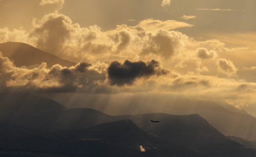
The flooding comes just hours after the National Weather Service issued an urban flood advisory for Salt Lake and Utah counties, as well as a flash flood watch for most of the state. At 6:15 p.m., intense thunderstorms were approaching Interstate 15 near St. George and Zion National Park, meteorologists reported. Motorists were urged to use caution.
The Weather service also issued a severe thunderstorm warning for east-central Garfield County Saturday afternoon.
Mike Conger, a Weather service meteorologist, said intense afternoon rain could produce ponding and flooding in lower elevations streets, as well as problems on burn scars.
The Weather service also issued a general flash flood watch for most of the state Saturday. Conger said the watch was issued after storms became more active in the middle of the day.
The Weather service predicted temperatures Saturday ranging from the high 70s in Salt Lake City to the low 70s in Ogden.
By Sunday, the state should begin drying out, Conger said.Forecasters say there is only a 30 percent chance of rain Sunday along the Wasatch Front and temperatures should rise into the 80s. Monday, northern Utahns should see partly cloudy skies and slightly warmer weathers.
In southern Utah, highs Saturday will simmer all the way up to about 90 degrees. Only scattered showers are expected in the St. George area.
According to Conger drier air will move over the state next week as the low pressure system driving the recent storms weakens.
The Utah Division of Air Quality expects breathable, "green" conditions through the weekend.
Forecasters predicted highs in Salt Lake City and Provo of 75 degrees Saturday and 79 degrees Sunday; Ogden 72 and 77, respectively; Logan 75 and 78; St. George 90 and 93; Duchesne 70s; Moab 77 and 84; Park City 63 and 68; Wendover 72 and 77.
Twitter: @jimmycdii
Twitter: @erinalberty