


This is an archived article that was published on sltrib.com in 2013, and information in the article may be outdated. It is provided only for personal research purposes and may not be reprinted.
A storm propelled by strong cyclonic winds — approaching the historic levels of those that caused widespread damage in Davis County in December 2011 — had the National Weather Service urging residents from Brigham City to the Salt Lake Valley to secure loose outdoor objects and prepare for power outages.
"Downed trees [and] power lines and infrastructure damage can be expected due to the combination of strong winds and the prolonged nature of the event," the weather service said in a discussion of the wind event, which was expected to last through Tuesday morning.
While this wind event will be weaker and shorter than the one in 2011, it is expected to produce gusts ranging from 65 to 75 mph along the northern Wasatch Front. By comparison, the peak gust in December 2011 in Centerville was 102 mph, according to the NWS.
Still, forecasters issued a high wind warning for the Salt Lake desert region extending through 9 p.m. Tuesday. Strong cross winds were expected to batter Interstate 80. High-profile vehicles were especially at risk from the blustery weather. Southern Davis County and the east bench of Salt Lake County were also expected to feel the brunt of the wind storm.
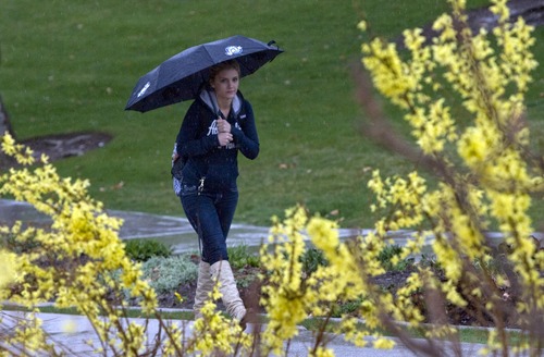
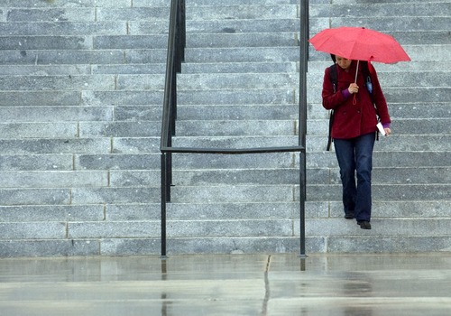
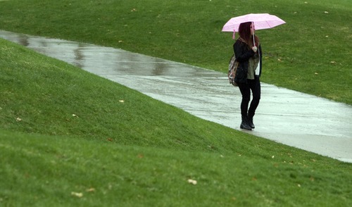
A winter weather advisory in place through noon Tuesday also predicts thunderstorms, valley rains and 1-2 feet of mountain snowfall in a stretch of northern and central Utah in addition to gusty winds.
Both Big and Little Cottonwood canyons were restricted to chained or four-wheel drive vehicles late Monday morning.
The advisory covers a ribbon along the Wasatch Front running from Logan south through Ogden, Salt Lake City and Provo to as far south as Richfield.
A Winter Storm Warning was in place, also through noon Tuesday, for northeastern Utah, the Wasatch Plateau and the southwestern quarter of the state. Thunderstorms and rain in the valleys and snow in the mountains, heavy in places, were expected.
By Monday evening, some Utah ski resorts had picked up close to a foot of snow with an additional 4 to 8 inches expected overnight, NWS meteorologist Mike Seaman said. Alta had recorded 8 inches of new snow, while both Deer Valley and Park City recorded 10 inches. And although rain fell steadily through the day Monday, most cities got less than an inch of rain,
The new precipitation isn't likely enough to help the state prepare for the summer, however, Seaman said.
"We're far enough along in the year that it's not going to help the water supply," he said. "Every little bit helps of course, but we're far enough along in the year that we're almost certain to finish the winter season below normal in the mountains."
Southwestern Utah also was under a High Wind Watch through Wednesday morning with gusts above 60 mph expected.
The Utah Avalanche Center took note of the coming addition to mountain snow packs, too, elevating its avalanche risk ratings for the mountains above Salt Lake City, Ogden, Provo and the Uintas to "considerable," while "moderate" risk grades applied throughout the remainder of the state.
Storm activity always freshens the state's atmosphere, and the Utah Division of Air Quality issued "green," or healthy breathability grades statewide through Wednesday.
Salt Lake City's high temperature Tuesday was predicted to hit 48 degrees, down from the 53 forecast for Monday; Ogden expected 47 and 52 degrees, respectively; Provo 48 and 56; Logan 45 and 50; Wendover 51 and 50; Duchesne 39 and 57; Cedar City 43 and 52; St. George 60 and 63; and Moab 37 and 61 degrees.
Jennifer Dobner contributed to this story.
Twitter: @remims —
Condition check
Wind, Weather and Roads •Strong crosswind gusts of 60+ mph will impact Interstate 15 and US-89 , Legacy Parkway, and other north-south running routes between Brigham City and North Salt Lake between 6 p.m. Monday and 10 p.m. Tuesday. Dangerous easterly wind gusts of 70+ mph will impact routes between Weber Canyon and Bountiful from 9 p.m. Monday through 9 a.m. Tuesday. Farmington and Centerville will see the strongest wind gusts.
• Strong crosswind gusts of 60+ mph will impact US-40 in the Uinta Basin and other east-west running routes in the eastern Uinta Basin between 6 p.m. Monday and 11 a.m. Tuesday. Gusts in excess of 65 mph at times will impact this route, particularly near the Colorado border, during this time.
• Strong crosswind gusts of 60+ mph will impact US-6/191 between Helper and Green River between 11 p.m. Monday and 2 p.m. Tuesday. Gusts in excess of 65 mph at times will impact this route during this time.
• Strong crosswind gusts of 50-55+ mph will impact Interstate 80 west of Salt Lake City between 6 p.m. Monday and 8 a.m. Tuesday. Crosswind gusts of 40+ mph will continue at times through Tuesday afternoon.
• Strong crosswind gusts of 55+ mph will impact State Road 30 west of Interstate 84 between 3 p.m. Monday and noon Tuesday. Crosswind gusts of 40+ mph will continue at times through Tuesday afternoon.
Road slush/snow • Most northern valley routes will run wet under any showers Monday and Tuesday. Road slush will impact the western section of the Cache Valley on Monday night.
• Periods of road snow will impact Interstate 15 between Dog Valley (just north of the Interstate 70 junction) and Cedar City on Monday night and Tuesday morning. Road slush under heavier snow showers will be a threat for the I-15 summits near the I-70 junction during the day Monday. Road snow will be heavy at times Monday night and Tuesday morning for the I-15 summits near the I-70 junction.
• State Road 44 (south of Manila) and US-191 summits north of Vernal will see road snow Monday morning through Tuesday afternoon. Road snow will be heavy at times with blowing/drifting snow and reduced visibilities. Road snow will gradually decrease Tuesday afternoon. Significantly impaired travel is expected for these routes.
— Source: Utah Department of Transportation