

This is an archived article that was published on sltrib.com in 2013, and information in the article may be outdated. It is provided only for personal research purposes and may not be reprinted.
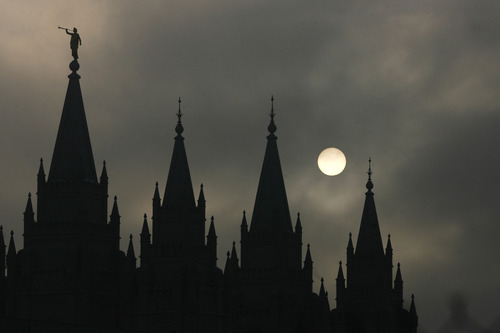
TGIF, indeed. After weeks of nearly uninterrupted pollution-trapping inversions, a slow-moving weekend storm system promises to scour smog in northern Utah valleys as it brings 1 to 2 feet of new snow to mountains throughout the state.
Northern Utahns can expect snow showers to begin Friday afternoon and continue through Sunday, according to the National Weather Service (NWS). Four to eight inches are anticipated for valleys and benches, with snow totals exceeding 20 inches predicted for the mountains.
The forecast prompted the NWS to issue a Winter Storm Watch for Friday afternoon through Saturday afternoon for a stretch of the Wasatch Front stretching from Logan south through Brigham City, Ogden, Salt Lake City, Provo, Nephi and Cedar City to just north of St. George, along with a slice of extreme northeastern Utah.
Travel is expected to be particularly difficult in Utah County during the Friday evening commute, and along I-84 from Tremonton north to the Idaho border Friday night into Saturday morning.
While the snowfall will improve ski conditions, it will increase avalanche danger, which on Thursday was rated "moderate" for the mountains above Logan, Ogden, Salt Lake City, Provo, Moab and the Skyline district. Only the Uintas began with a "considerable" risk rating as of Thursday morning, according to the Utah Avalanche Center.
Southern Utahns were to escape the worst of winter weather once more, however. High temperatures were to be in the 60s and overnight lows in the 40s heading into the weekend, though low-elevation rain and a dusting of mountain snow were predicted.
Salt Lake City's expected high temperature Friday is 40 degrees; Ogden looked for 39 degrees; Provo, 41; Logan, 31; Wendover, 33; Duchesne, 33; Cedar City, 40; St. George, 53; and Moab, 48 degrees.