

This is an archived article that was published on sltrib.com in 2013, and information in the article may be outdated. It is provided only for personal research purposes and may not be reprinted.
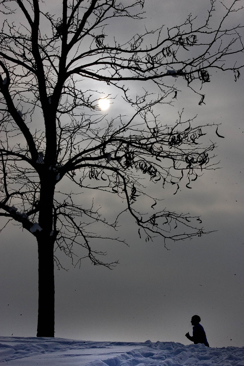
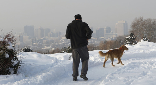
The stubborn pollution haze that settled (again) in northern Utah this week is expected to stay locked in throughout the weekend, just in case you were looking for an excuse to head for the mountains.
A steady bearer of bad news as of late, the Department of Air Quality predicts "red" air alerts through Saturday for Box Elder, Cache, Davis, Salt Lake, Tooele, Utah and Weber counties. The inversion means air that is unhealthy for most but especially young children, the elderly and anyone with respiratory illnesses such as asthma.
People are not allowed to burn anything outside in those counties and are encouraged to limit their driving by using mass transit instead.
The cold of the past week doesn't look like it will let up either. Most of Northern Utah won't break 30 degrees on Saturday, except for the Sundance revelers in Park City, who will get a high of 32 degrees.
The northern and eastern parts of the state will get the coldest temperatures. Logan is looking at a high of 15 degrees with a low of 3 below zero and Vernal is expecting a low of 12 below with a high of only 11 degrees.
Southern Utah will see a little relief from the cold, with St. George expected to reach a high of 54 and a low of 26 and Kanab looking at a high of 48 with a low of 18.
No snow is expected to fall anywhere in the state over the weekend.
If you do decide to head to higher ground to escape the inversion this weekend, keep in mind that the Utah Avalanche Center predicts a "moderate" risk for dangerous snow slides on the state's mountains.