


This is an archived article that was published on sltrib.com in 2012, and information in the article may be outdated. It is provided only for personal research purposes and may not be reprinted.
When it comes to Utah's weekend weather forecast, there's good news, sort of, and then there's news with a literally chilling effect.
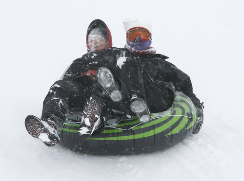
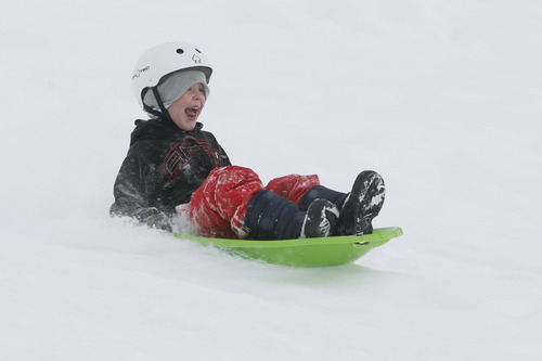
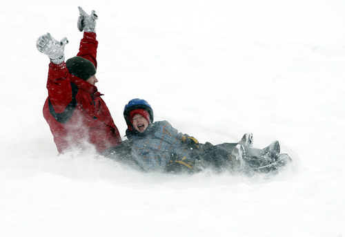
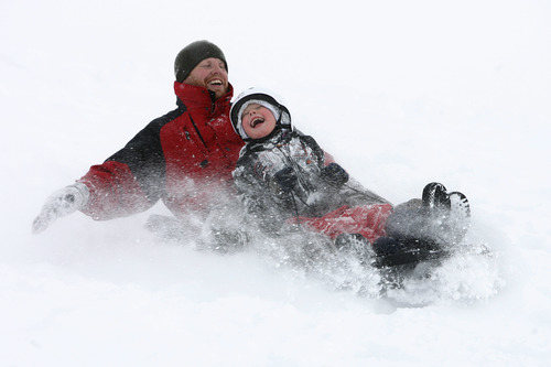
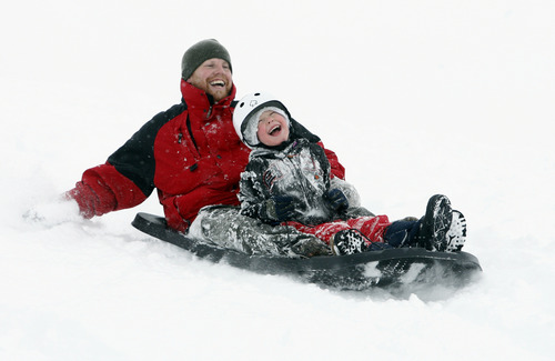
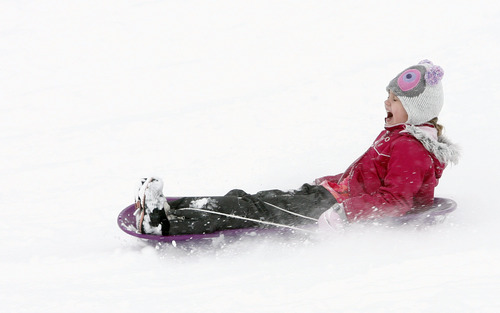
The heavy snowfall of the past couple of days continued Friday morning but tapered off by nightfall, a trend expected to continue Saturday and Sunday. Periodic, light snow showers were expected, but nothing like what dumped on the state at midweek, triggering hundreds of traffic accidents on icy roads.
Then, there are the overnight temperatures. Let's put it this way: Toss another blanket or three on the bed because it's going to be cold.
The National Weather Service predicts the mercury will shudder down to 9 degrees below zero early Saturday morning in Bryce Canyon, while Bear River and Randolph expected minus 6 readings, Mirror Lake minus 4 and Vernal minus 2. Duchesne braced for a 1-degree overnight low; Logan and Cedar City 7; Wendover 9; Moab 10; Ogden 12; Provo 14; Salt Lake City 16; and St. George a relatively balmy 29 degrees.
Saturday's highs, meanwhile, will range from the upper teens in eastern Utah and low 30s along the Wasatch Front to the mid-30s to low 40s in southern Utah.
The Utah Avalanche Center rated the state's mountains at "moderate" risk for dangerous snow slide activity on Saturday, down from the generally "considerable" ratings the backcountry slopes started with on Friday.
Air quality was graded "green," or healthy, for much of the state, except for Cache, Duchesne, Utah and Weber counties, which were graded "yellow," or moderately polluted, according to the Utah Division of Air Quality.
The latest storm surge brought a bounty of fresh snow to the region.
By Friday evening, 26 inches had fallen at Sundance, 22 inches at Snowbasin, 23 inches at Alta, 16 inches at The Canyons and 12 inches along the benches of Salt Lake City and Farmington.
Centerville topped the snowfall totals with more than 17 inches. Ogden's benches collected more than 13 inches, and 11 inches fell in Brigham City and Park City. Lehi and Tooele both measured 9 inches of new snow, Logan had 7 inches, and more than 8 inches fell in the Salt Lake Valley.
Avalanche conditions this weekend: •
Most avalanche accidents occur on the first sunny day following a storm, and when that day occurs on a Saturday it's a double whammy. Add deep, light powder and we've got a triple whammy. In other words, avalanche accidents have just as much to do with human behavior as avalanche behavior. This weekend, we expect large crowds of people in the backcountry, lured by a couple feet of light powder and sunshine. If there are any instabilities in the snowpack, people will likely find them this weekend.
Backcountry skiers should first check the latest avalanche conditions by monitoring the Utah Avalanche Center's web site at http://www.utahavalanchecenter.org or by calling 888-999-4019.
Source: Utah Avalanche Center