


This is an archived article that was published on sltrib.com in 2012, and information in the article may be outdated. It is provided only for personal research purposes and may not be reprinted.
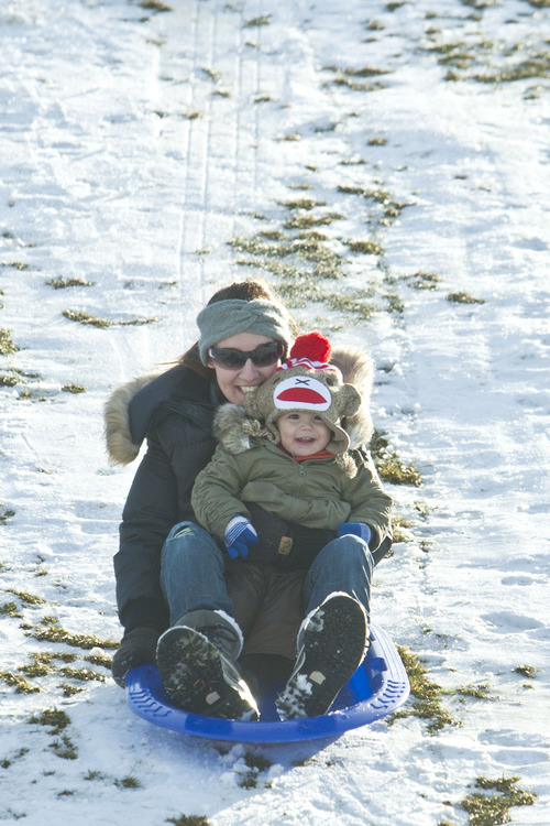
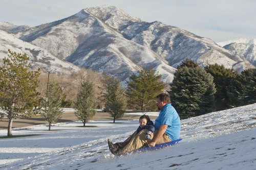
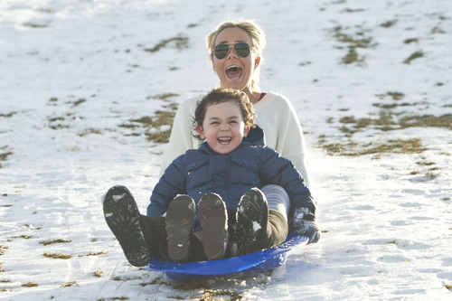
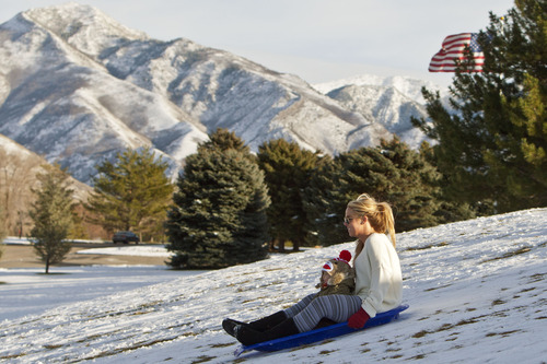
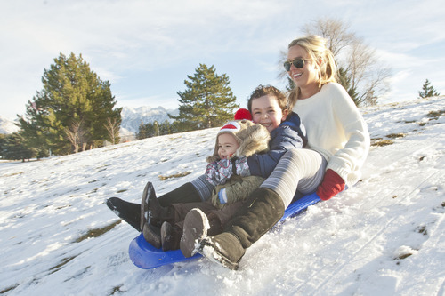
The valley snows have stopped for now, but northern Utahns were advised to still bundle up on Wednesday as continued cold weather persisted.
While daytime temperatures Wednesday were expected to range into the low- to mid-40s along the Wasatch Front, 15-25 mph breezes amounted to a shivering wind chill factor. Overnight lows were expected to be at or below freezing.
Northern Utah's break from snow was expected to end on Thursday when a new storm system was expected to move into the region.
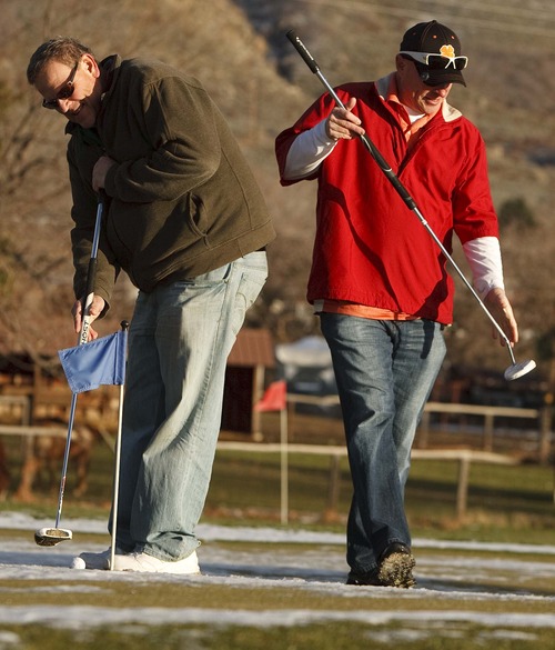
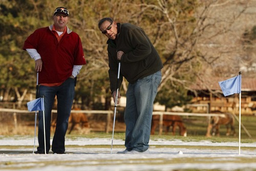
Southern Utahns, though, escaped that cold front's worst, with Wednesday's highs forecast to be around 60 degrees with overnight lows a few degrees above freezing.
Recent snowfall in the mountains, however, did translate to elevated risks for dangerous snow slides. The Utah Avalanche Center rated the mountains of Cache, Salt Lake and Utah counties at "considerable" risk for avalanches. Weber County and the Uintas were rated a "moderate" risk grade.
Air quality statewide earned a "Green," or satisfactory breathability rating from the Utah Division of Air Quality.
Salt Lake City's high temperature Wednesday was pegged at 44 degrees, up from Tuesday's forecast for 40; Ogden looked for 43 and 39 degrees, respectively; Provo 45 and 40; Logan 41 and 35; Wendover 42 and 40; Duchesne 40 and 38; Cedar City 49 and 47; St. George 61 and 55; and Moab 47 and 39 degrees.