

This is an archived article that was published on sltrib.com in 2012, and information in the article may be outdated. It is provided only for personal research purposes and may not be reprinted.
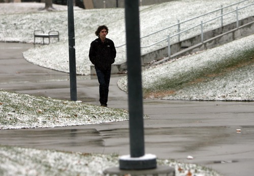
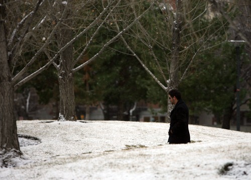
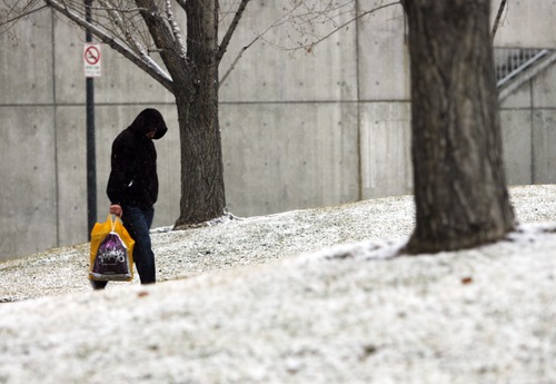
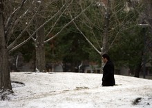
After weeks of warmer-than-usual weather, winter is making its return to Utah, blasting the state with cold air and dropping up to a foot of snow on some Wasatch mountain peaks.
The forecasts predicts as much as 2 inches of snow for parts of the Salt Lake Valley on Sunday and up to 10 inches of snow in area mountains.
"It's not a particularly wet system, but it's quite cold," National Weather Service meteorologist Steve Rogowski said.
The storm rolled through Utah Saturday, dropping temperatures into the high 20s in many locations and blanketing much of northern Utah with snow, leaving some road ways slushy or icy and causing a flurry of mostly minor traffic accidents through the evening.
Sunday's high temperatures are not expected to exceed a 32 for Salt Lake City, Ogden, Provo and other northern Utah cities.
Forecasters expect more cold weather days ahead, with a continuing chance for some light snow Monday, with another storm expected to roll through the area on Thursday.
Temperatures in Logan and Wendover are expected to reach 30 degrees Sunday, forecasters said. Cedar City and Moab are expected to be slightly warmer at 33 and 37 respectively and a high of 51 is forecast for St. George Sunday.
Southern Utahns in Moab and Cedar City could also see precipitation Sunday — snow in Moab and Cedar City, and rain in St. George — before skies clear into the evening and Monday.
The Utah Avalanche Center on Saturday had listed almost all of the state's mountain slopes at "moderate" for the risk of dangerous snow slides, except for the Skyline and Moab areas, which the center pegged at a "low" risk.
Snow totals, in inches:
• Alta: 7
• Brighton: 12
• The Canyons Resort: 7
• Deer Valley: 6
• Magna: 3.5
• Ogden: 1
• Park City: 4
• Powder Mountain: 1
• Salt Lake City: 3.2
• Solitude: 5
• West Jordan: 3.8