
This is an archived article that was published on sltrib.com in 2012, and information in the article may be outdated. It is provided only for personal research purposes and may not be reprinted.
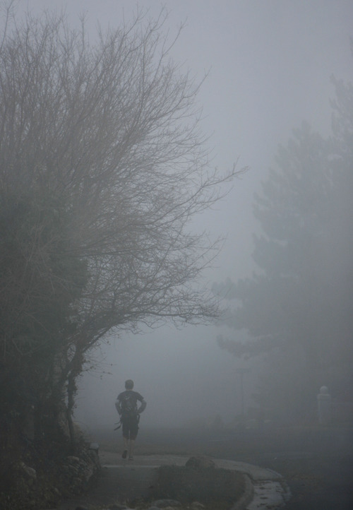
Utah's forecast heading toward the weekend was almost Charles Dickensian, ushered in Thursday morning by wreaths of mist that had Wasatch Front denizens "peeping over the parapets into a nether sky of fog."
That vaporous prologue was to give way to cloudy skies and periodic valley rains and mountain snowfall through Friday. High temperatures Friday were pegged in the low- to mid-40s with overnight lows just around freezing, according to the National Weather Service.
Southern Utahns were to see their skies alternately fill with clouds and partially clear for sunshine. Highs Friday were expected to range into the low-60s with overnight lows in the upper-30s.
The Utah Avalanche Center raised its risk rating for the Logan district mountains to "considerable" heading toward the weekend, but left the rest of the state's slopes with "moderate" grades for potentially dangerous snow slides.
The Utah Division of Air Quality rated the Salt Lake, Davis, Weber, Tooele and Utah counties at "Yellow," or compromised breathability; the rest of the state remained "Green," or at satisfactory air quality for Friday.
Salt Lake City expected a high temperature of 45 Friday, down 5 degrees from Thursday's forecast; Ogden looked for 43 and 45 degrees, respectively; Provo 47 and 52; Logan 40 and 46; Wendover 38 and 47; Duchesne 42 and 47; Cedar City 51 and 54; St. George 63 and 66; and Moab 52 and 55 degrees.