


This is an archived article that was published on sltrib.com in 2012, and information in the article may be outdated. It is provided only for personal research purposes and may not be reprinted.
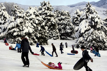
The weekend's snowstorm may have felt like a record-breaker to those stuck shoveling off driveways and sidewalks but, in fact, winter's first big blast only toppled one long-standing Utah record, forecasters say.
The record that fell? Saturday's 24-hour snow total for the Salt Lake City International Airport, said National Weather Service forecaster Chris Young.
"The total for the day was 8.5 inches. That broke a record set in 1886 of 8 inches," Young said. "It was a big storm for November, but it wasn't any record, except for that one."
Overall, more than 15 inches fell at the airport during the storm, which began on Friday and tapered off around noon Sunday, Young said.
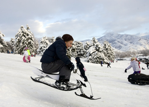
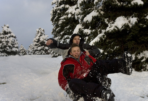
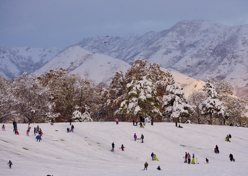
Utah ski resorts have likely benefited the most from the storm, picking up 51 inches — or more than 4 feet — of fresh powder in the Alta-Snowbird area of Little Cottonwood Canyon. In Big Cottonwood Canyon, Brighton reported about 47 inches of new snow and Solitude 35 inches, according to data posted on the SkiUtah website.
Utah's other resorts were also touting generous amounts of new snow. The Canyons and Park City Mountain Resort added about 30 inches of snow. Cache County's Powder Mountain got 14 inches, as did Snowbasin near Ogden. Brian Head, in southern Utah, reported 12 inches of new snow.
Meanwhile, the snow accumulations made for nasty driving conditions in the valleys along the Wasatch Front. The Utah Highway Patrol reported that from 6 a.m. Saturday until 1 p.m. Sunday, there were 252 accidents from Weber to Utah counties, 39 of which involved injuries.
Salt Lake City authorities reported a number of tree limbs had been knocked down in the storm, which resulted in numerous power outages.
Rocky Mountain Power reported that about 1,600 customers remained without power Sunday night as crews responded to more than 300 outages along the Wasatch Front, including a blackout affecting 900 customers in Sandy, said spokeswoman Maria O'Mara.
Some 900 customers living in South Jordan ZIP code 84095 lost power midday Sunday, but their electricity was restored in less than two hours.
A power outage that affected more than 2,500 customers living in Salt Lake City's 84105 ZIP code was reported to be fixed by early Sunday afternoon.
The forecast for Monday in the Salt Lake Valley is for partly sunny skies with a high near 38. Temperatures will climb during the week into the low 50s by Thursday. On Friday, skies will be mostly cloudy, bringing a slight chance of showers.
Reporter Erin Alberty contributed to this story.
jdobner@sltrib.com How much snow fell where you live? (Storm totals in inches)
Logan 4.6
Bountiful bench 31.5
Centerville 22.0
North Salt Lake bench 20.0
South Ogden 11.5
Brigham City 10.0
Roy 7.2
Cottonwood Heights 25.0
Upper Millcreek 27.5
Sandy 22.7
Salt Lake City 15.0
Upper Avenues 21.0
Taylorsville 11.5
Tooele 10.0
West Jordan 7.0
West Valley City 14.3
Springville 12.0
Cedar City 2.2
Source National Weather Service as of 7 p.m. Sunday