

This is an archived article that was published on sltrib.com in 2012, and information in the article may be outdated. It is provided only for personal research purposes and may not be reprinted.
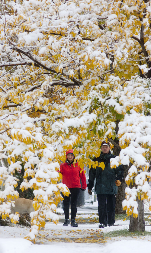
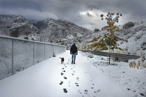
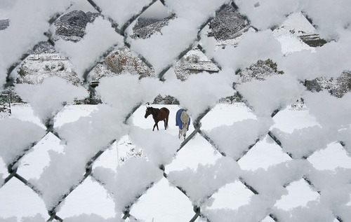
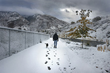
Autumn turned to winter Thursday as a storm system rolled into northern Utah, blanketing the mountains and the valleys with snow and triggering a spate traffic accidents and power outages.
More than 2,200 northern Utah residents were left without power in weather-related outages that began late Thursday morning and extended into the afternoon.
Hundreds of other Rocky Mountain Power customers were without power for periods ranging from less than an hour to several hours in Lindon, Pleasant Grove, South Ogden, West Haven and Kamas. By Thursday night, the company reported all its large outages had been restored.
"Whenever we get snow this early in the season the leaves on the trees tend to cradle the snow and that can weight down and break the branches, causing them to come into contact with the power lines," said Rocky Mountain Power spokesman Jeff Hymas. "We caution the public that when they see downed lines to stay away from them and immediately report them."
Snow began in downtown Salt Lake City just before dawn, a few flakes at first that built to a steady dusting that shrouded the horizons in gray and dusted streets and rooftops white.
Northern Utah's forecast into early Friday morning called for rain showers, occasionally mixed with snow, in the valleys and snow showers — heavy at times — in the mountains, with mostly clear and dry skies by the later morning. The weekend forecast calls for highs in the 50s with partly sunny skies on Saturday and increasing sunshine Sunday.
Meanwhile, the National Weather Service issued a slew of storm-related advisories. The NWS reported a wide range of snow totals in the Wasatch and western Uinta mountains, from a few inches to 42 at Powder Mountain; and freeze warnings were in place through Friday morning for east-central and southeastern Utah, from Price running south to near Escalante and southeast to encompass Green River, Moab, Blanding and Bluff.
The mountain snows caused serious delays for commuters in the canyons east of Salt Lake City, where chains were required along some stretches of Interstate 80. Interstate 84 between Weber and Morgan counties was briefly closed early Thursday morning, forcing closure of the Mountain Green Elementary School in Morgan, while icy conditions slowed travelers in Utah County's Spanish Fork Canyon.
There were nearly 80 weather-related slideoffs and crashes reported Thursday to the Utah Highway Patrol, none involved life-threatening injuries. One of those accidents, on Interstate 15 near Lindon in Utah County, saw a semi slide on icy roads, forcing another vehicle into the back of a UHP cruiser; the trooper was not hurt, Johnson said.
While the northern half of the state experienced early winter-like conditions and high temperatures only in the 40s, southern Utahns enjoyed more typical autumn weather. Under mostly clear, sunny skies, Utah's Dixie looked for highs Friday in the upper-60s, mirroring Thursday's forecast.
The Utah Division of Air Quality graded all monitoring stations at "Green," or healthy for breathability.
Salt Lake City's high temperature Friday was pegged at 46, up from Thursday's 42-degree forecast; Ogden looked for 46 and 41 degrees, respectively; Provo 49 and 45; Logan 45 and 41; Wendover 46 and 45; Duchesne 44 and 43; Cedar City 53 and 52; St. George 68s; and Moab 53 and 54 degrees.