

This is an archived article that was published on sltrib.com in 2012, and information in the article may be outdated. It is provided only for personal research purposes and may not be reprinted.
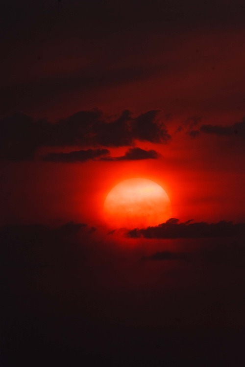
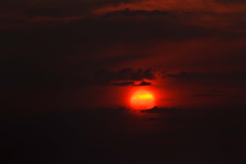
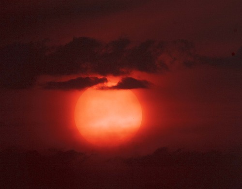
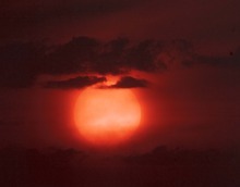
When the West is on fire, you must realize — smoke gets in your eyes. And lungs.
Apologies to the Platters, but that could be the forecast for Utah going into the weekend. Most of the western states have active wildfires churning up smoke that prevailing winds have, unfortunately, decided to deposit over the valleys of the Beehive State.
The Utah Division of Environmental Quality says that smoke — along with summer's elevated ozone and auto pollution levels — has put the entire state, with the exception of southwestern Utah's Washington County, under a "yellow," or unhealthy air quality flag, for the next several days.
Utah's own risk for new wildfires remains elevated, too, with continued hot, dry and windy conditions translating to a "Red Flag" wildfire danger warning in effect for the northern Wasatch Front, from Logan running south through Brigham City, Logan, Ogden, Salt Lake City, Park City, Provo and Nephi.
That fire advisory was tentatively scheduled to expire at 9 p.m. Friday, but conditions for new blazes were expected to remain dangerously high through the weekend.
Northern Utah and Southern Utah alike looked for high temperatures in the mid-90s to triple digits Saturday, mirroring Friday's sizzling forecast. However, Southern Utahns also had some hope of brief relief from the heat with thunderstorms and some rain possible late Friday into Saturday afternoon and evening.
Salt Lake City's high temperature Saturday was pegged at 96, the same as expected Friday; Logan looked for 93 degrees both days; Provo 97 and 95, respectively; Wendover 96s; Duchesne 85 and 86; Cedar City 91s; St. George 101 and 102; and Moab 97 degrees both days.