


This is an archived article that was published on sltrib.com in 2012, and information in the article may be outdated. It is provided only for personal research purposes and may not be reprinted.
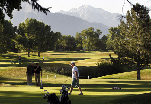
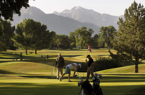
After the heat, some respite.
Temperatures Wednesday in northern Utah were expected to reach into the upper-70s, down roughly 20 degrees from the sizzling highs over the past weekend and Monday.
In typically hotter southern Utah, however, the relief from the torrid weather of the past few days was negligible: Wednesday's highs were forecast to be in the upper-90s, in places flirting with triple digits, at most a couple degrees cooler.
Continued dry conditions, still hot temperatures and winds in the 25-30 mph range convinced the National Weather Service to issue a "Red Flag" wildfire danger warning for much of eastern Utah, from Duchesne and Vernal running south to Green River and Moab.
Air quality statewide was rated "Green," or healthy by the Utah Division of Environmental Quality.
Salt Lake City's high temperature Wednesday was pegged at 80, up two degrees from Tuesday's high; Ogden looked for 77 and 75 degrees, respectively; Provo 82 and 79; Logan 75 and 70; Wendover 79 and 76; Duchesne 79 and 77; Cedar City 87 and 88; St. George 87 and 88; St. George 98 and 100; and Moab 96 degrees both days.