


This is an archived article that was published on sltrib.com in 2012, and information in the article may be outdated. It is provided only for personal research purposes and may not be reprinted.
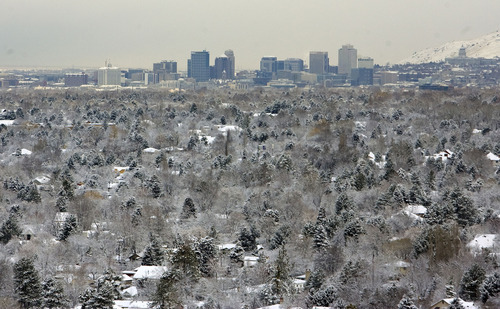
A fresh blanket of snow is expected in northern Utah by Friday morning, adding to storm totals from the vigorous front that punched into the area late Wednesday.
It could make for a slippery commute before the storminess begins to move out late Friday morning.
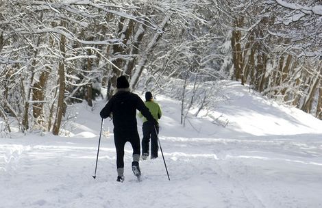
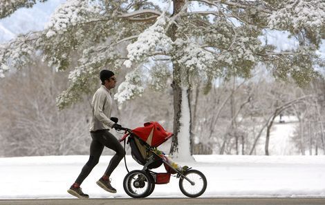
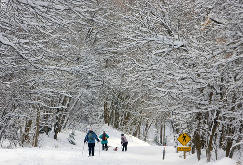
Throughout the state many areas saw half-a-foot of the white stuff in the valleys to several feet in the mountains from Wednesday to Thursday night.
The Bountiful bench saw five new inches of snow while Salt Lake City saw about the same. In the mountains, Brighton resort had a whopping 34 inches Thursday afternoon while Snowbird and Alta saw 10 inches and 11 inches, respectively.
Thursday night, the main storm system was starting to make its way out of the Wasatch Front, but another foot of snow was expected overnight in the Cottonwood Canyons.
"We are looking at a lake effect scenario through the remainder of the night," said Salt Lake National Weather Service Meteorologist Mike Seaman late Thursday.
Slick, snowy roads caused several slide-offs and roll-overs in Tooele County on Thursday night, but there were no major injuries, Utah Highway Patrol reported.
For the first time this season, Alta reported a settled snow depth of 100 inches. By Thursday afternoon, Alta had received 249 inches since its season opened in November. Brighton, Solitude and Snowbird were expected to follow suit by Friday.
The storm that will move through northern Utah by Friday morning was expected to bring amounts similar to Wednesday's storm, according to the forecast from the National Weather Service.
Valley locations could see up to an additional four inches by the time the system begins to move out late Friday morning, said Glen Merrill, weather service meteorologist. Cottonwood Canyon ski resorts could get another eight to 14 inches during that period, he said.
"It's pretty quick hitting," he said of the Thursday night storm. "But it will come in with a head of steam."
The brunt of the storm will be felt from Salt Lake City south toward Interstate 70. By Friday afternoon, however, high temperatures will push toward 40 degrees in valley locations, Merrill said.
Friday and Saturday will remain mostly cloudy, according to the forecast. Lows early Sunday will be about 37 with skies clearing.
By Sunday afternoon, the mercury will push toward 50 under sunny skies. A high-pressure system will set up through the first of next week, Merrill said.
Residents of Washington County can expect sunny skies Friday with a high of about 50, according the weather service.
Saturday, however, the temperature will rise above 60 in Washington County under sunny skies.