

This is an archived article that was published on sltrib.com in 2011, and information in the article may be outdated. It is provided only for personal research purposes and may not be reprinted.
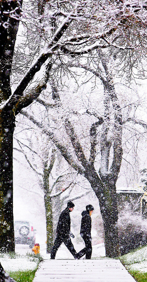
If it feels like it has been raining or snowing virtually nonstop since Thursday, it's because it has — and Mother Nature isn't done yet.
More rain and snow are forecast for Sunday.
Since Thursday, Wasatch Front areas have recorded ample amounts.
Over three days, Cottonwood Heights and areas along the Ogden and Bountiful benches had around 2 1/2 inches of water in the form of rain or snow. In southern Utah, Zion National Park saw up to 4 inches of moisture.
A winter storm warning remains in effect until 10 a.m. Sunday for the state. Later Sunday, skies are expected to start clearing. Monday's forecast for much of Utah sees mostly sunny skies.
Law enforcement reported dozens of weather-related incidents Saturday on Utah roadways.
Saturday morning, ski resorts reported lots of new snow, ranging from 4 inches at Powder Mountain to 30 inches at Eagle Point.
There was a dark side to the continued precipitation. The Utah Avalanche Center issued a snowslide warning for most of its mountain backcountry districts. The risk of potentially fatal avalanches was put at "considerable" for the Logan, Ogden, western Uinta, Salt Lake and Provo areas.
As cold weather moved in, many locations in southern Utah saw record low maximum temperatures on Saturday.
Cedar City beat an old record by two degrees with only 37 degrees for a high.
Fillmore and Zion National Park tied their old records of 35, and 46, respectively.
Cimaron Neugebauer contributed to this report.