


This is an archived article that was published on sltrib.com in 2010, and information in the article may be outdated. It is provided only for personal research purposes and may not be reprinted.
In the aftermath of Tuesday's blizzard forecast, many Utahns complained that the storm didn't live up to its billing — that it wasn't bad enough.
The blizzard warning issued by the National Weather Service led to school closures, flight delays and meeting postponements, among other things, so motorists could beat the rush-hour storm.
But Wednesday morning, Twitter and online comment forums were full of missives from Utahns who thought the warnings were much ado about nothing.
If the weather wasn't fierce enough, don't tell it to the weather service. The elements for a blizzard — high winds, snow and bitterly cold temperatures — were all there, said meteorologist Mike Seaman.
"There is a public perception [of a blizzard] that you get two feet of snow and you're hunkered down for days," he said.
For some areas of northern Utah, blizzard conditions did exist for one to three hours, Seaman said.
And the frigid aftermath is likely to continue to affect the roads for Thanksgiving travelers.
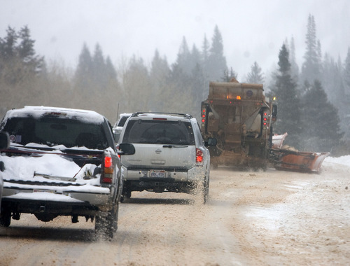
Utah Highway Patrol Trooper Todd Johnson warned that, with subfreezing overnight temperatures expected to warm only into the teens on Thursday, driving conditions during the Thanksgiving weekend will remain dangerous.
Lows Thursday morning were forecast in the single digits for valley locations in northern Utah.
"We just need people to slow down and exercise extreme caution," Johnson said. "Roads are icy and still snowpacked in places, and even where it appears wet and clear, there's lots of black ice."
There is a 30 percent chance of snow showers on Thanksgiving morning, with skies turning partly cloudy in the afternoon and highs reaching 20 degrees, according to the weather service. Highs will climb into the mid-20s Friday in northern Utah's valleys.
By Saturday, the mercury could hit 30 ahead of a weak storm system that will dislodge the cold air mass, Seaman said. Valleys could see 2 to 4 inches of snow late Saturday and Sunday. Mountain locations could receive as much as 12 inches.
The forecast Tuesday called for a blizzard of three to six hours in duration statewide that would drop 4 to 8 inches of snow in valleys and up to 14 inches in the mountains.
A similar event on Valentine's Day 2008 left people stranded on freeways for hours, Seaman said.
To avoid that, the weather service put out a blizzard warning, knowing the arctic front with all the right ingredients would strike northern Utah at rush hour.
According to recorded wind gusts and snow totals, the forecast wasn't far off.
Logan got 6 inches of snow, and at nearby Sherwood Hills, gusts of 69 mph were recorded.
Centerville received 5 inches of snow. Wind gusts at Great Salt Lake Causeway hit 60 mph.
Salt Lake City got 6 inches of snow, while wind gusts at Salt Lake City International Airport were clocked at 59 mph.
Olympus Cove only received 3.5 inches of snow, but wind gusts hit 56 mph.
Other mid-Salt Lake Valley locations received less snow. Sandy, for example, received 2 inches.
The weather warning did succeed in getting many motorists off roadways by the time the storm arrived Tuesday afternoon.
According to a storm traffic analysis by the Utah Department of Transportation, peak traffic volumes occurred two hours earlier than normal Tuesday.
Nonetheless, the Utah Highway Patrol recorded more than 300 storm-related accidents.
"It could have been a lot worse," Johnson said. "We just had nine injury accidents [on state highways and freeways] during the storm, none of them serious. There were 118 property-damage crashes and 119 slide-offs or calls for assistance."
Two UHP patrol cars were hit by other vehicles, but no troopers were injured.
Tuesday's winds did break tree limbs that led to scattered power outages.
Rocky Mountain Power crews worked Wednesday to restore electricity to about 3,400 customers.
Tribune reporter Cathy McKitrick contributed to this report. —
A mixed blessing for recreation
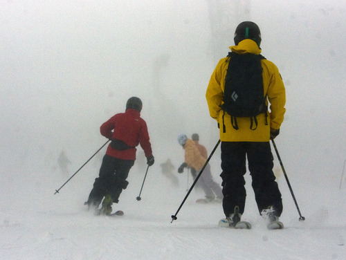
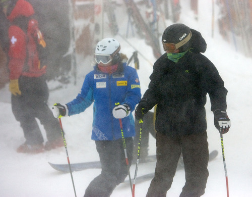
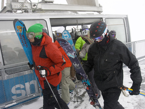
Ski areas welcomed the snow that came with Tuesday's storm. Alta, Brighton and Brian Head all reported 11 inches of new snow. Snowbird and Solitude added 10 inches, and Park City received 5.
But the storm left backcountry slopes susceptible to snowslides, according to the Utah Avalanche Center. The Logan and western Uintas districts are at high risk of avalanche. Ogden-, Salt Lake- and Provo-area mountains are listed as "considerable" risks.