


This is an archived article that was published on sltrib.com in 2016, and information in the article may be outdated. It is provided only for personal research purposes and may not be reprinted.
Directions • From Interstate 15, take exit 284 for Timpanogos Highway and drive east toward American Fork Canyon until the tollbooth. As of 2016, the fee for entering the canyon is $6 for a three-day pass or $12 for a week pass. Follow the Alpine Loop Scenic Byway up the canyon about 8 miles and turn right, following signs for Timpooneke Campground. Before the campground, there is a parking lot on the left for Timpooneke trailhead.
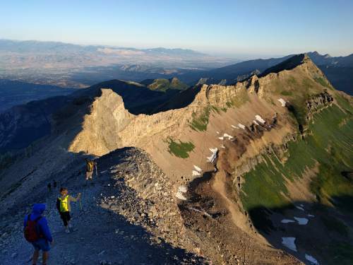
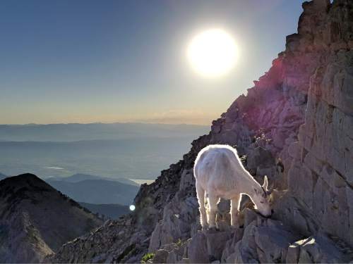
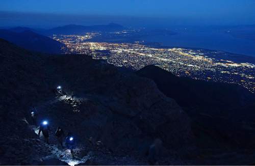
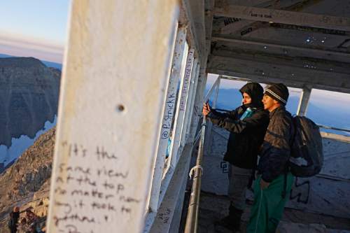
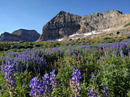
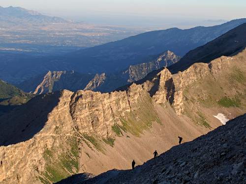
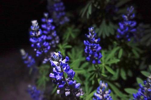
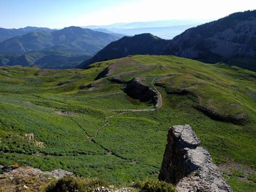
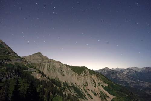
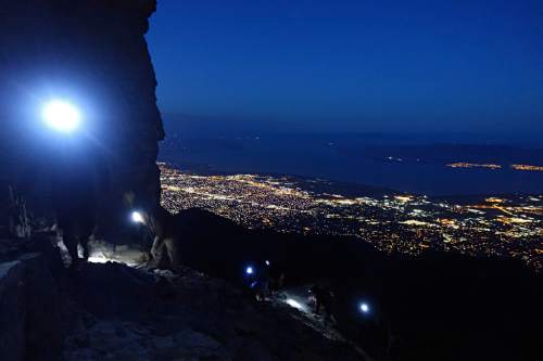
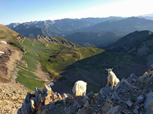
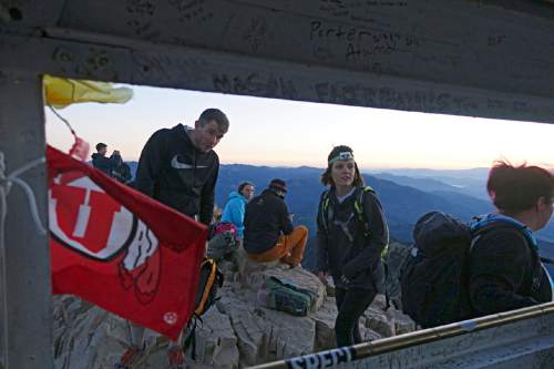
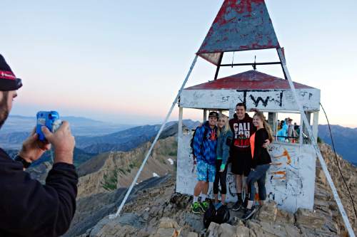
Hike • The trail takes off straight toward Mount Timpanogos through a forest of aspen. At about 1.5 miles, you reach a series of switchbacks and water crossings. Here, a fork to the left leads to a viewpoint for Scout Falls. Continue along the trail another half mile and the trail will briefly flatten across a bench with views of a massive rock wall called the Giant Staircase. The trail veers wide to the right of the staircase, then begins a climb up through it. The staircase approaches Timpanogos Basin, filled with wildflowers when we ascended on July 24. It also approaches a fork in the trail, which leads left toward Emerald Lake and meets the Aspen Grove route. The Timpooneke Trail continues up another set of switchbacks just before the saddle. Beyond the saddle, enjoy views of Utah Valley as well as likely sightings of mountain goats navigating the rocky terrain. The early morning sunlight projects through Provo Canyon a brilliant "V" across the valley. Use caution along the final scree-laden ascent to the Mount Timpanogos summit.
Digital map available at http://bit.ly/2biFMO6
Find more Utah hikes in our database: http://local.sltrib.com/hiking
— Lennie Mahler
Destination: Mount Timpanogos
Hiking time • 9 hours
Round-trip miles • 14.2 miles
Elevation gain • 4,219 feet
Difficulty • Difficult
Trailhead restrooms • Yes
Dogs allowed • Yes
Bikes allowed • No
Fees • $6 per vehicle