

This is an archived article that was published on sltrib.com in 2017, and information in the article may be outdated. It is provided only for personal research purposes and may not be reprinted.
The National Weather Service has issued winter weather advisories for several areas of Utah where snow accumulations are expected to cause travel difficulties.
The Wasatch Mountains, including Alta and Brighton, are expected to get 5 to 10 inches of accumulation on Thursday. All mountain routes, including Interstate 80, will be impacted, according to the weather service.
In the west central part of the state, 2 to 4 inches of snow will pile up, the weather service says. Winter driving conditions, including snow covered roads, are expected in the area, including Interstate 15 near Fillmore and U.S. 50 through Delta west to the Nevada border.
The forecast for the Wasatch Plateau and the central and southern mountains predicts 4 to 8 inches of accumulation. Travel difficulties are expected on all mountain routes in these areas, including U.S. 6 over Soldier Summit, Interstate 70 between Cove Fort and Fremont Junction and the higher passes along Interstate 15 south of Fillmore.
The advisories in all these areas are in effect until 5 a.m. Friday.
An advisory for the Great Salt Lake desert and mountains, including the cities of Wendover and Snowville and Interstate 80 across the Salt Flats and Interstate 84 near the Utah-Idaho stateline, will be in effect until 11 p.m. Thursday. The weather service predicts an additional 2 to 4 inches of snow accumulation in the area.
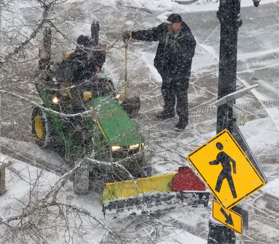
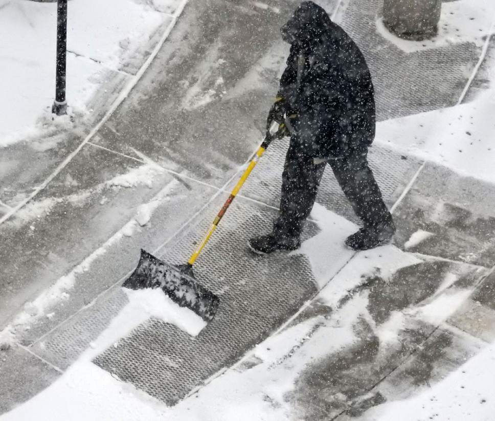
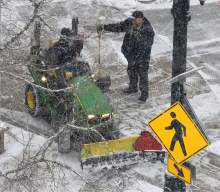
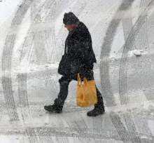
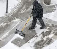
A snow accumulation on Thursday of up to 2 inches is predicted for the Salt Lake and Tooele valleys. Highs in the low 30s and lows in the mid 20s are predicted.
Twitter: @PamelaMansonSLC