


This is an archived article that was published on sltrib.com in 2016, and information in the article may be outdated. It is provided only for personal research purposes and may not be reprinted.
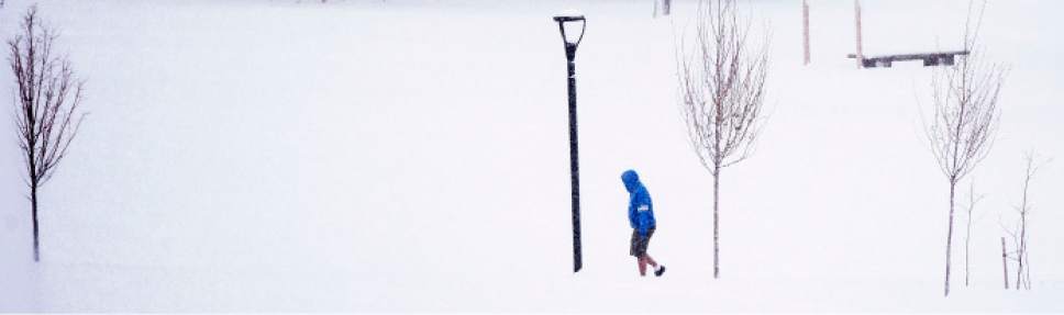
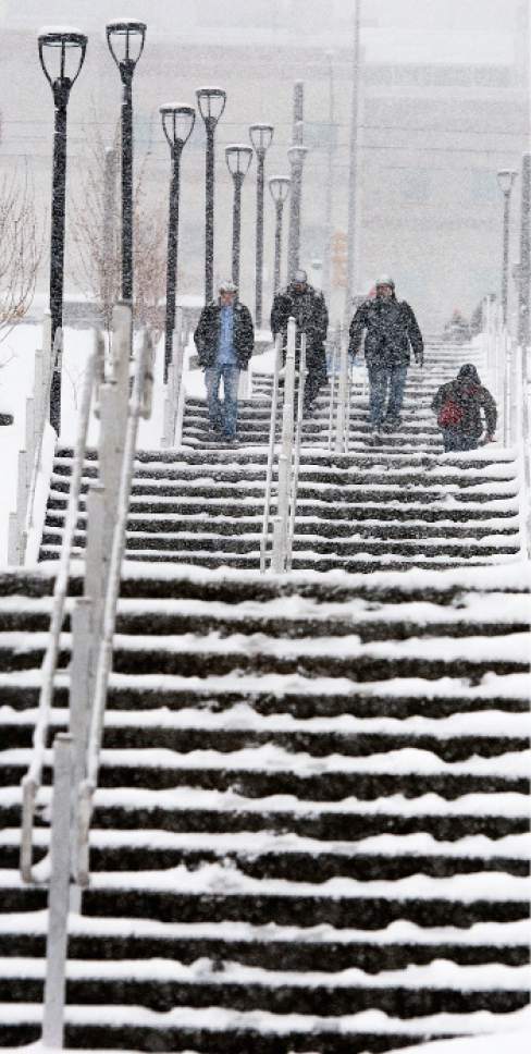
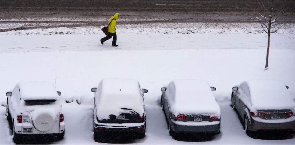
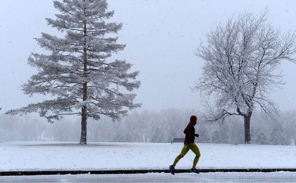
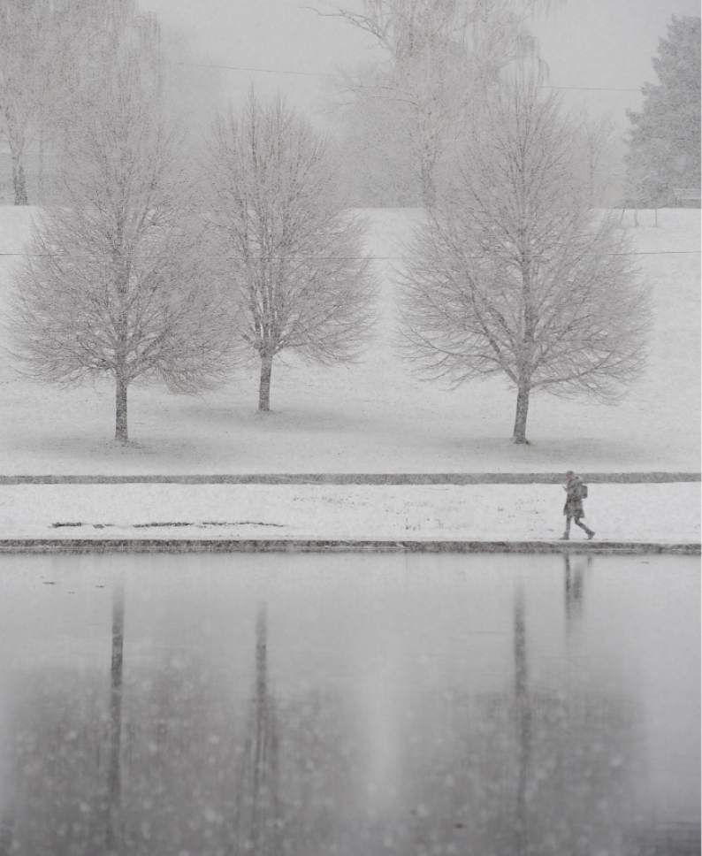
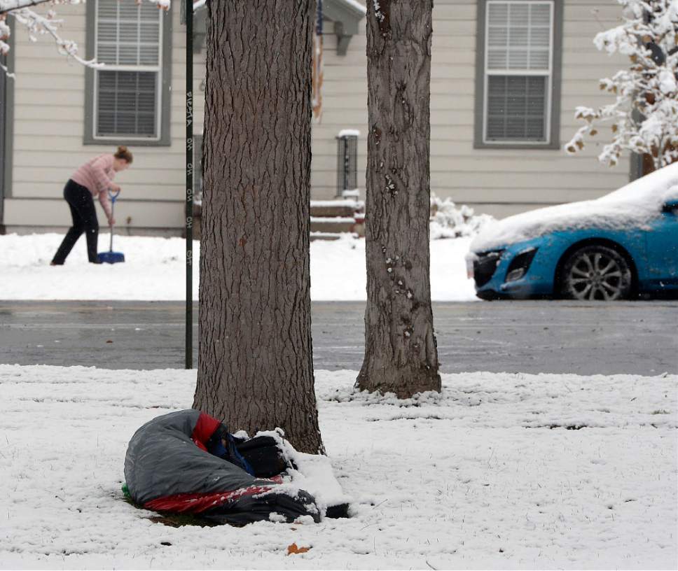
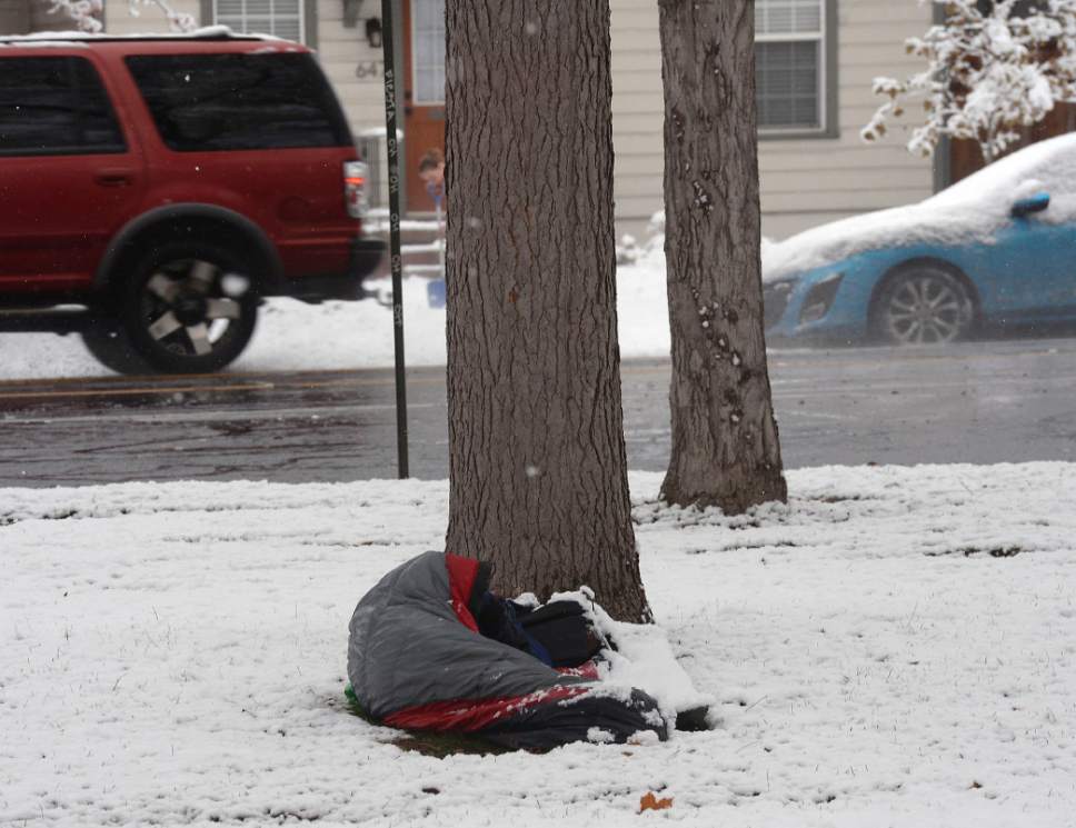
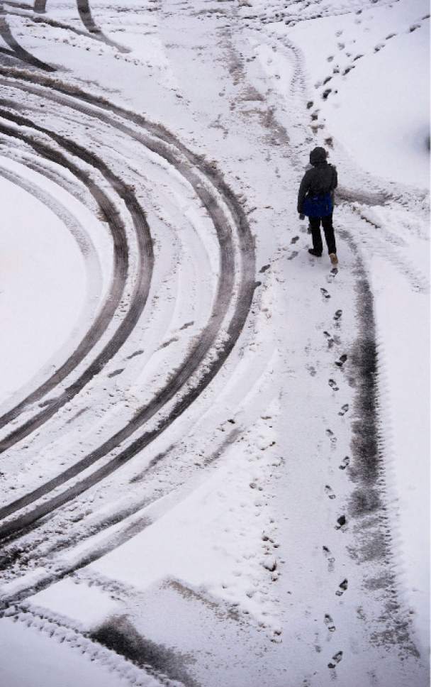
Monday blasted northern Utah with snow and ice — just the beginning of a cycle of snowstorms targeting the Wasatch Front this week.
The storm snarled traffic in the valleys but also gave an early season boost to skiers, with more than 30 inches of snow falling at Salt Lake County resorts by Monday evening.
Snow blanketed cities from the Idaho border through central Utah, with at least 13 inches falling on Bountiful's mountain bench; 10 inches in Highland; 7 inches in Salt Lake City, Lehi, and at Hill Airforce Base; 6 inches in Ogden; and 4 inches in Logan.
It was in the Cache and Wasatch ranges where the storm really flexed its muscles, leaving 32 inches of new snow at Alta, 31 inches at Brighton Crest, 30 inches at Snowbird, 27 inches at Park City Resort and Powder Mountain, and 20 inches at Snowbasin as of Monday afternoon and evening counts.
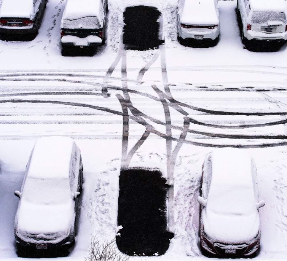
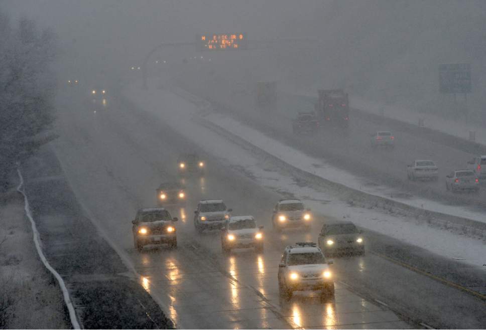
Monday's storm brought vehicular havoc to portions of the Wasatch Front; crews were "swamped" as they were dealing with 16 crashes at 9 p.m. alone in Salt Lake and Utah counties, following a full day of slide-offs and collisions, said Utah Highway Patrol Trooper Evan Kirby. Farther north, icy conditions were blamed for numerous slide-offs and several crashes in Ogden. Bridges and overpasses were black-ice nightmares in Weber County, prompting brief closures to give snowplows and sand trucks time to restore traction to affected areas.
A winter storm warning was to be underway until 5 a.m. Tuesday along the spine of the Wasatch at Interstate 80, stretching as far south as Bryce Canyon and east through the Uinta Mountains to Wyoming, according to the National Weather Service. A winter weather advisory was issued for the Wasatch Front and west-central and southwestern Utah.
The Utah Avalanche Center warned that the sudden, heavy snowfall made the risk high for potentially deadly mountain backcountry slides. That special avalanche advisory was in effect in the Wasatch and Uinta mountains and was to expire at 6 a.m. Tuesday.
Skiers were cautioned to especially avoid slopes steeper than 30 degrees because the snowy onslaught and strong winds combined to make for unstable conditions vulnerable to natural and human-caused avalanches.
Snow was expected to stop by 11 a.m. Tuesday, but its return was forecast for Wednesday night and Thursday, with a slight chance of snow continuing into Friday.
High temperatures will be in the mid- to upper-30s into midweek with overnight lows in the mid-20s.
Southern Utahns began the week with rain, winds of 10-20 mph and highs in the upper-40s. Periodic valley rain and occasional mountain snow were to be interspersed with sunshine in Utah's Dixie through midweek. Low temperatures will be in the upper-20s.
The Utah Division of Air Quality rated conditions as "green," or healthy statewide through Tuesday.
For more extensive forecast information, visit The Salt Lake Tribune's weather page at http://www.sltrib.com/news/weather/.
Twitter: @remims Road snow, blowing snow, strong winds •
A strong winter storm will develop across Utah on Monday, with significant impacts to travel throughout the day. Steady snowfall will first expand across Northern Utah early Monday morning, quickly spreading down through Central and Southern Utah mid-late morning.
Widespread snow and road snow/slush will then continue through the day. Road snow will be heaviest on mountain routes, but valley road slush/snow will impact the Monday morning and evening commutes.
Snow will gradually taper off from north to south Monday evening/overnight, but icy/slick conditions will linger through Tuesday morning. The other concern will be strong northwest winds on Monday across the West Desert. Wind gusts of 45 mph and higher will be possible. Strong winds could also cause areas of blowing/drifting snow, primarily in the mountains.
Motorists are advised to use extra caution and TravelWise. The following routes will experience weather-related travel concerns during the forecast period:
— I-15, ID border through Black Ridge (mp 42)
— I-80, Entire Route
— I-70, Cove Fort (I-15) to Fremont Jct. (SR-10)
— I-84, Entire Route
— I-215, Entire Loop
— US-89, Entire Route north of Kanab
— US-40, Entire Route
— US-191, Vernal to WY border; Indian Canyon
— US-6, NV border through Helper
— US-189, Entire Route
— Source: Utah Department of Transportation Road snow, blowing snow, strong winds •
A strong winter storm will develop across Utah on Monday, with significant impacts to travel throughout the day. Steady snowfall will first expand across Northern Utah early Monday morning, quickly spreading down through Central and Southern Utah mid-late morning.
Widespread snow and road snow/slush will then continue through the day. Road snow will be heaviest on mountain routes, but valley road slush/snow will impact the Monday morning and evening commutes.
Snow will gradually taper off from north to south Monday evening/overnight, but icy/slick conditions will linger through Tuesday morning. The other concern will be strong northwest winds on Monday across the West Desert. Wind gusts of 45 mph and higher will be possible. Strong winds could also cause areas of blowing/drifting snow, primarily in the mountains.
Motorists are advised to use extra caution and TravelWise. The following routes will experience weather-related travel concerns during the forecast period:
— I-15, ID border through Black Ridge (mp 42)
— I-80, Entire Route
— I-70, Cove Fort (I-15) to Fremont Jct. (SR-10)
— I-84, Entire Route
— I-215, Entire Loop
— US-89, Entire Route north of Kanab
— US-40, Entire Route
— US-191, Vernal to WY border; Indian Canyon
— US-6, NV border through Helper
— US-189, Entire Route
— Source: Utah Department of Transportation