


This is an archived article that was published on sltrib.com in 2016, and information in the article may be outdated. It is provided only for personal research purposes and may not be reprinted.
Bill Watterson, creator of the beloved "Calvin and Hobbes" comic strip, once observed that "rainy days should be spent at home with a cup of tea and a good book."
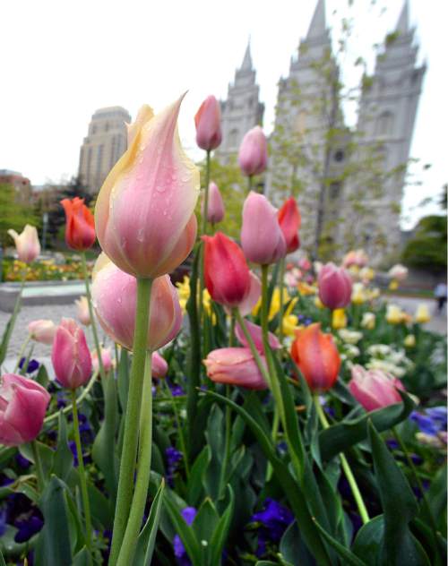
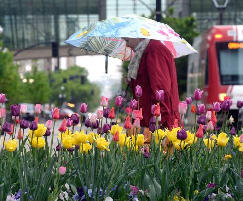
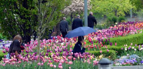
Sorry if staying at home isn't in your schedule, because the rain sure is. The cool, Pacific storm will continue to bring valley rain and mountain snow through at least Tuesday evening.
On Tuesday morning, snowfall could dip to about 5,000 feet above sea level, but any accumulation would be minimal below 6,500 feet, according to the National Weather Service. Above that, snow will keep accumulating, with the possibility of some "significant accumulation" above 8,000 feet, the weather service noted on its website. Major roads through the mountains will most likely be wet, with the possibility of slush in the morning, especially along Interstate 70 through the San Rafael Swell.
Any break from the rain would be short-lived. Starting late Wednesday, more storm systems will bring the possibility of showers and isolated thunderstorms.
Salt Lake City can expect a high temperature of 53 on Tuesday, followed by 59 on Wednesday. St. George, meanwhile, can expect highs in the upper 60s.
Mulberry pollen levels remain "very high" on Tuesday, according to Intermountain Allergy & Asthma. Sycamore pollen levels are high, cedar pollen is moderate, while ash, maple and mold pollen are low.
The state's air quality isn't at its best. Salt Lake, Utah, Uintah and Duchesne counties have moderate air quality on Tuesday and Wednesday, according to the Utah Division of Air Quality.
One way to avoid the pollen and lackluster air? Staying at home with a cup of tea and a good book.
For more detailed forecast informaiton, visit The Salt Lake Tribune's weather page.
Twitter: @MikeyPanda