


This is an archived article that was published on sltrib.com in 2015, and information in the article may be outdated. It is provided only for personal research purposes and may not be reprinted.
After all this spring-like weather, snow is barreling back into central and southern Utah.
Meteorologists expect a winter storm and cold front from Canada to arrive late Saturday, bringing "significant snow" to central and southern Utah and staying into early Tuesday.
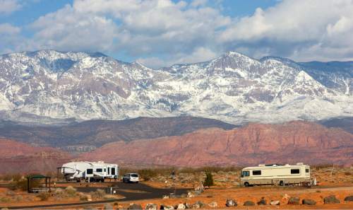
The central and southern mountains are expected to see the most snow, at 1 to 2 feet, with locally higher amounts possible on south and east-facing slopes, according to the National Weather Service.
The San Rafael Swell, southwestern Utah valleys and the Interstate 15 corridor of west-central Utah could see 6 to 12 inches. Western and southern Utah valleys, the Book Cliffs, Wasatch Plateau and Uinta mountains are expected to see 5 to 10 inches, while Castle County could see 2 to 5 inches.
All of those totals are for elevations above 5,500 feet.
The heavy snow will significantly impact travel along corridors like I-15, from Fillmore to just north of St. George, Highway 89 from Salina to Panguitch, and all of Utah's stretch of Interstate 70. The weather service urged "extreme caution when traveling across central and southern Utah late this weekend and early next week."
Twitter: @mikeypanda