


This is an archived article that was published on sltrib.com in 2014, and information in the article may be outdated. It is provided only for personal research purposes and may not be reprinted.
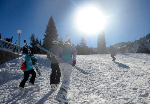
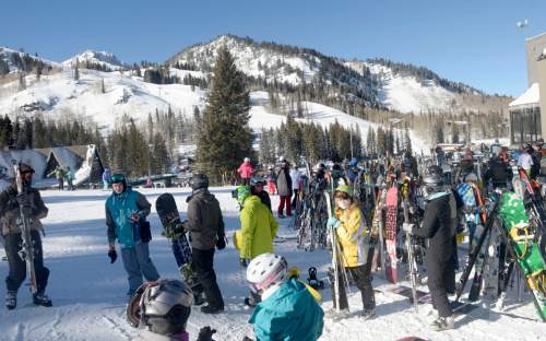
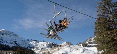
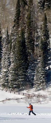
Heavy, wet snow and stiff winds buffeting the peaks and slopes of northern Utah's mountains prompted forecasters to issue a Backcountry Avalanche Warning on Tuesday.
The advisory, which covers the backcountry of the Wasatch, Bear River and western Uinta ranges as well as the state's central mountains, especially targets terrain steeper than 30 degrees above 9,000 feet elevation. The Utah Avalanche Center's warning runs from Wednesday evening through Friday morning.
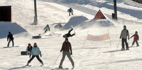
The National Weather Service predicts mountain snowfall of up to two feet by Friday, with 4-8 inches of snow arriving in the valleys beginning Christmas Day through the end of the week.
Wednesday's forecast for the Salt Lake and Tooele valleys calls for daytime highs in the mid- to upper-40s, with snow arriving around midnight. Overnight lows were pegged in the low- to mid-20s.
Southern Utahns expected to dodge the snow, but not stiff winds. A Wind Advisory was in effect into Tuesday afternoon, with gusts up to 55 mph predicted. However, Christmas Eve promised calmer, partly cloudy skies and highs in the mid- to upper-50s — the same temperature range as forecast for Tuesday.
All that atmospheric stirring led the Utah Division of Air Quality to rate all monitoring stations "green," or healthy through the remainder of this holiday week.
For more extensive forecast information, visit the Tribune's weather page at: http://www.sltrib.com/weather.
Twitter: @remims