


This is an archived article that was published on sltrib.com in 2017, and information in the article may be outdated. It is provided only for personal research purposes and may not be reprinted.
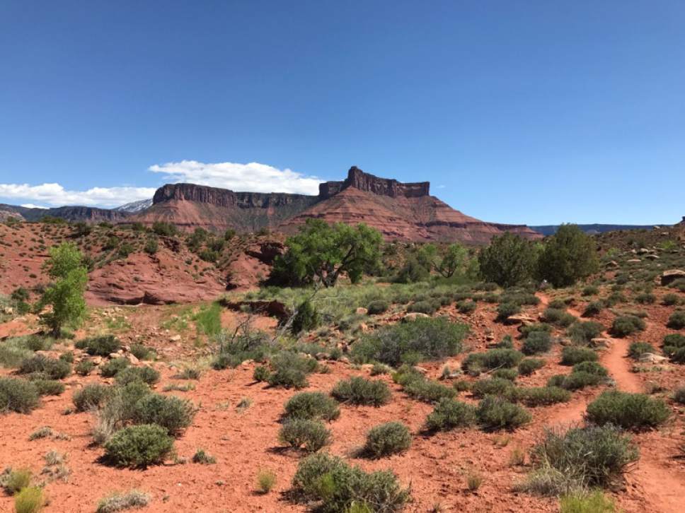
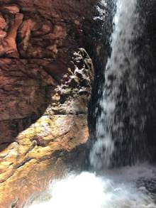
Mary Jane Canyon (and the accompanying Professor Creek) is becoming one of the Moab area's more popular hikes. The out-and-back hike ends with a three-story waterfall hidden in a slot canyon. The hike is dog-friendly and doable for school-age kids.
Directions • From Moab, take U.S. Highway 191 north to Utah Highway 128. Turn east and follow Highway 128 for 18.4 miles. Then turn right (southeast) onto a ranch road that is actually Bureau of Land Management Road 98. Follow it for 2.2 miles, where it will end. Or, if you're using a GPS device, set it to find coordinates 38.683781, -109.355672.
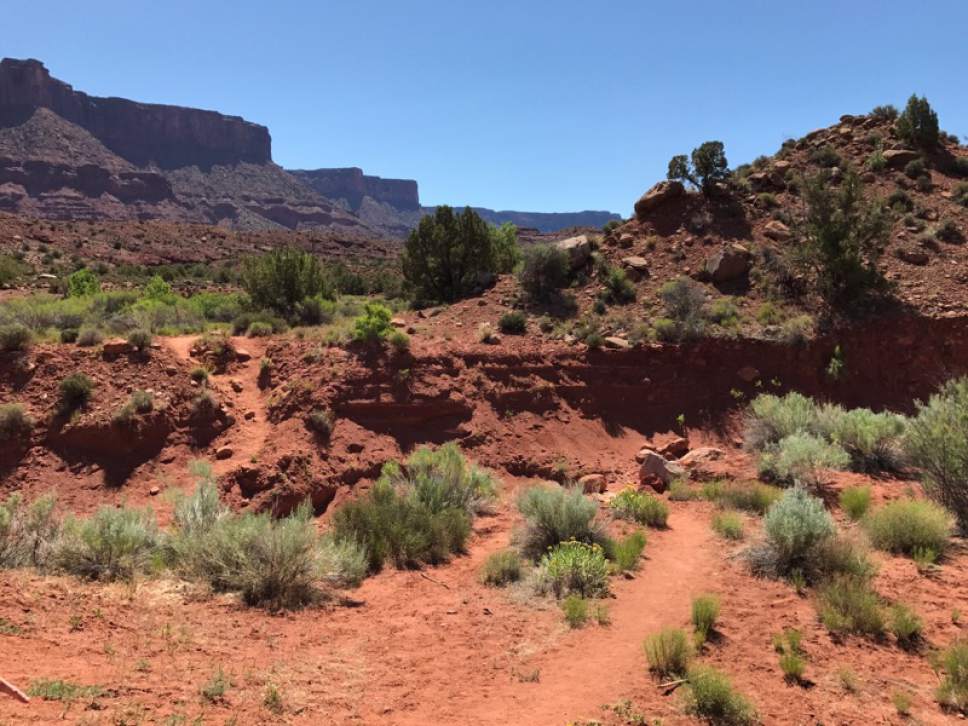
Hike • There are no signs for Mary Jane Canyon at the trailhead. From the trailhead, go southeast through the ditch and follow the well-worn path until you reach the creek. Start walking upstream.
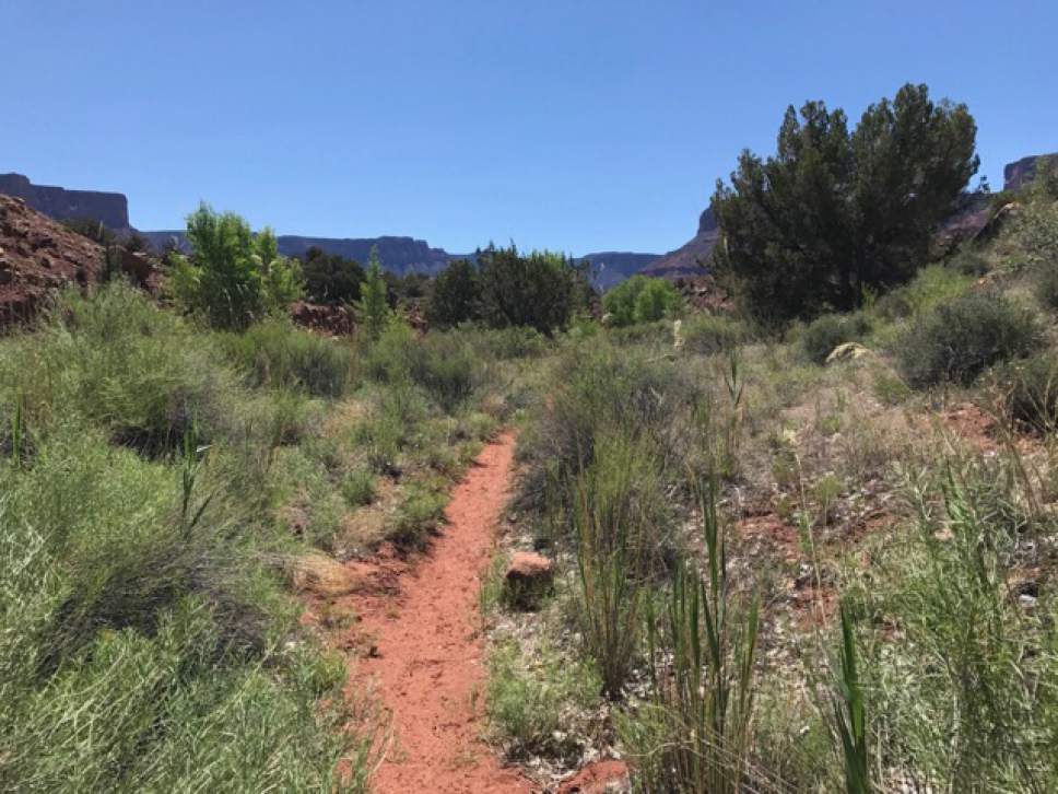
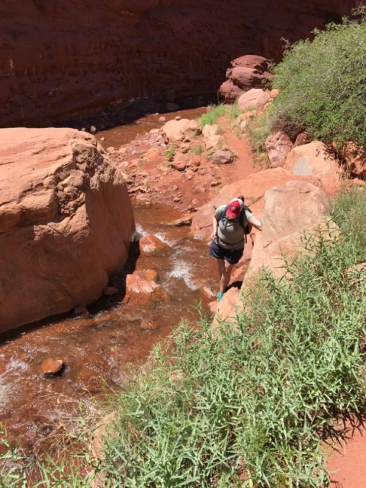
The trail will remain well-marked and roughly follows Professor Creek. You will cross the creek more times than you can count. Even in the spring, the water only reaches to an adult's shins. Wear shoes that can get wet or even hiking sandals. If your footwear allows it, you may want to walk in the creek.
As the trail continues winding southeast, the canyon walls will narrow. As you near the waterfall, the walls will narrow to just a few feet. There is no overlook or viewing area. You will have to walk into the water to see the falls. The water under the waterfall is chest-deep on an adult.
— Nate Carlisle
DestinationWaterfall
Hiking time4 hours
Round-trip miles8.4 miles
Elevation gain715 feet
DifficultyModerate
Trailhead restroomsNo
Dogs allowedYes
Bikes allowedN/A
FeesNone DestinationWaterfall
Hiking time4 hours
Round-trip miles8.4 miles
Elevation gain715 feet
DifficultyModerate
Trailhead restroomsNo
Dogs allowedYes
Bikes allowedN/A
FeesNone